News


Events
26-28th
4th
January, 2026
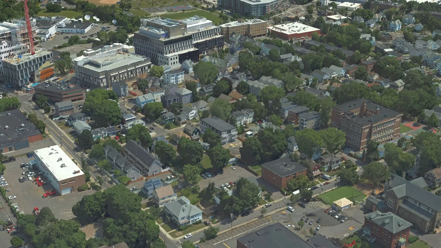
Bluesky will be exhibiting at the 67th Annual New York State Association of Professional Land Surveyors Conference at the Saratoga Springs City Center & Hilton Hotel, NY.
29th-30th
4th
January, 2026
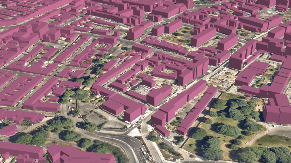
Bluesky will be exhibiting at the Maine Society of Land Surveyors 2026 Annual Conference at The Regency Hotel in Portland, ME.
16th-18th
4th
February, 2026
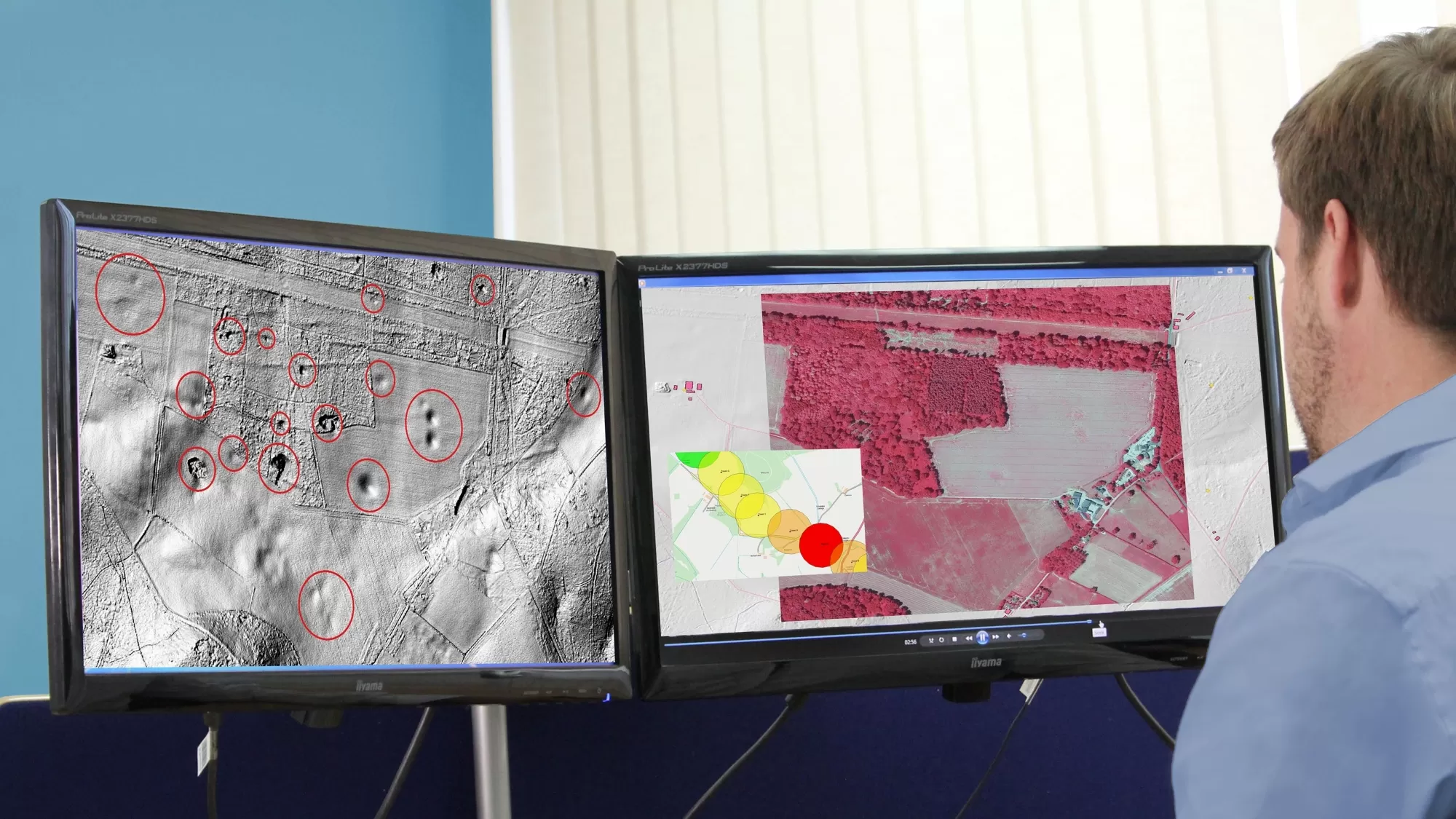
Bluesky will be exhibiting at Geo Week at the Colorado Convention Center, Denver, CO.
6th
4th
March, 2026
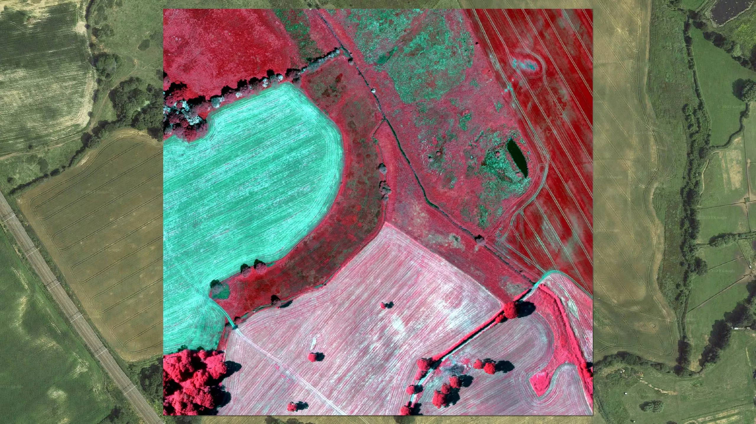
Bluesky will be exhibiting at the Massachusetts Association of Land Surveyors and Civil Engineers Convention at the Boxboro Regency Hotel & Conference Center, Boxborough, MA.