Delivering A wide range of Geospatial services and products
We offer custom services to deliver high quality, accurate geospatial datasets to a wide-range of customers across varied sectors.
From high-resolution aerial photography and height data to the innovative 3D mesh product, MetroVista. Our datasets inform policy, projects and programs in the Northeast US and beyond.
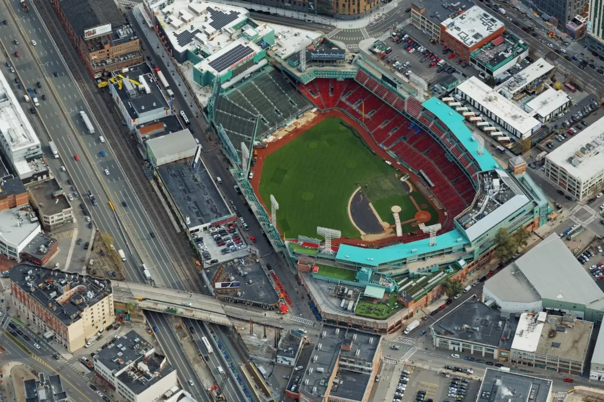
Aerial Photography
We offer custom aerial surveys, accurately capturing at resolutions ranging from 2cm to 25cm.
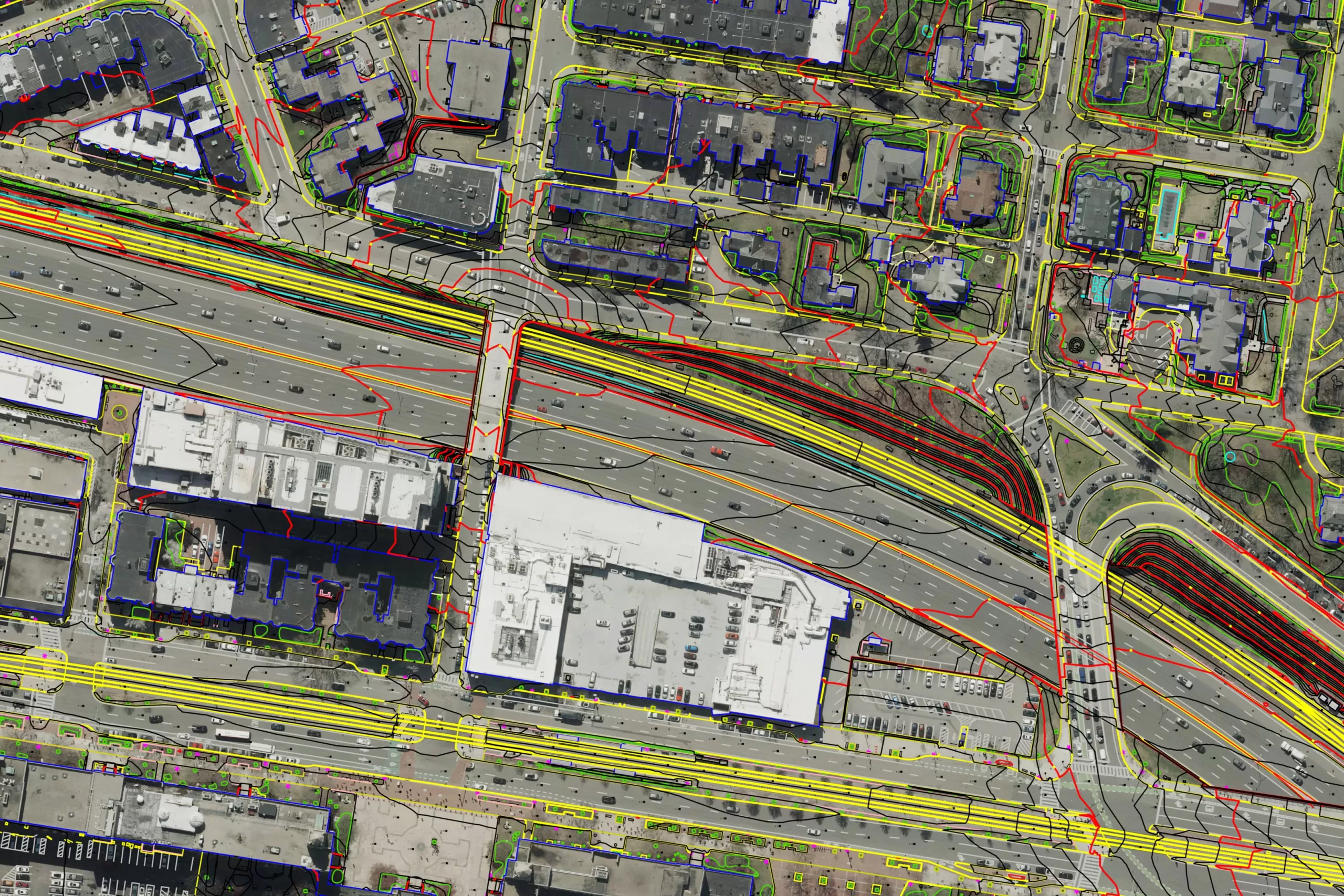
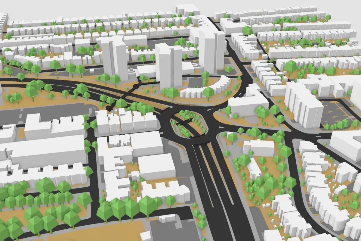
Topography
Standard topographical mapping to terrain models, orthophotos, volumetrics, and aeronautical mapping and obstacle analysis.
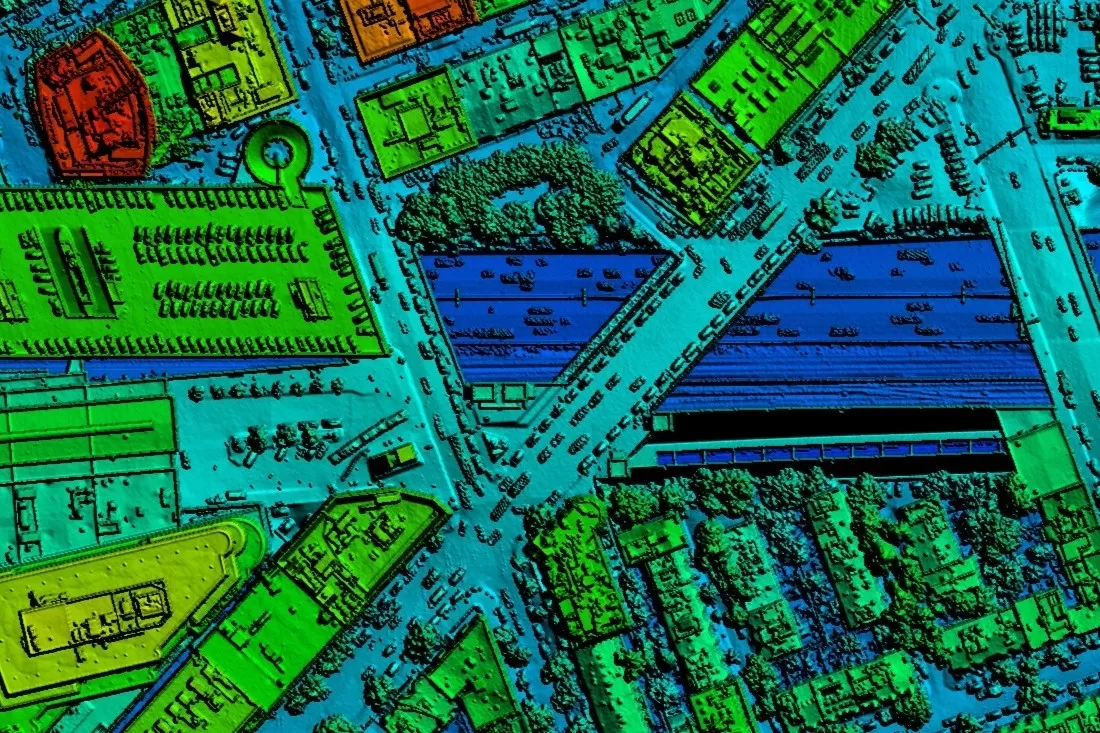
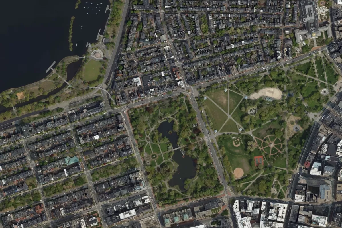
LiDAR Height Data
Detailed and accurate terrain information including the height of both the terrain and any above ground features, such as trees and buildings.
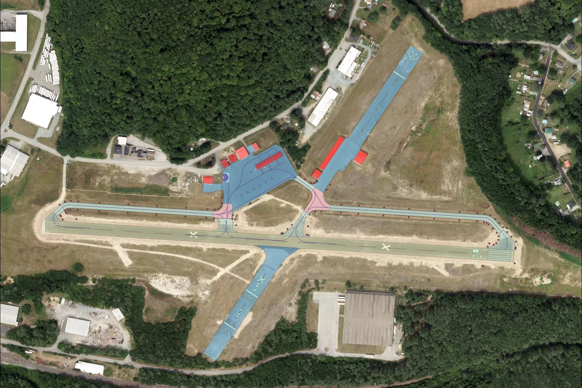
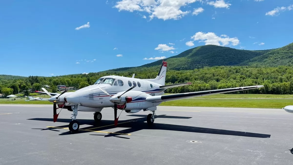
Airport Mapping
Bluesky is experienced in acquiring imagery for airport projects to meet FAA Advisory Circular 150-5300-17c specifications and FAA AC 150-5300-18b.