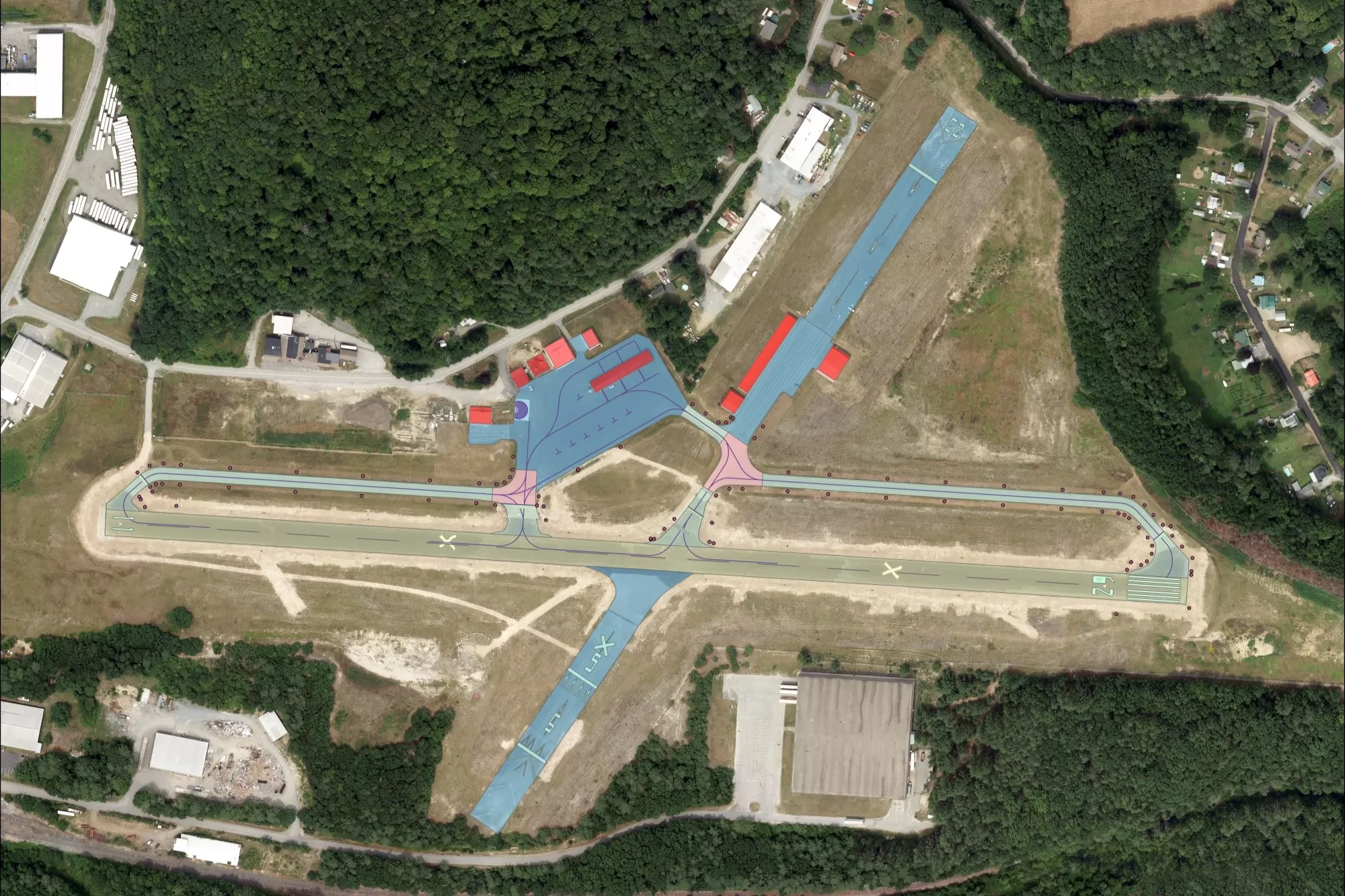
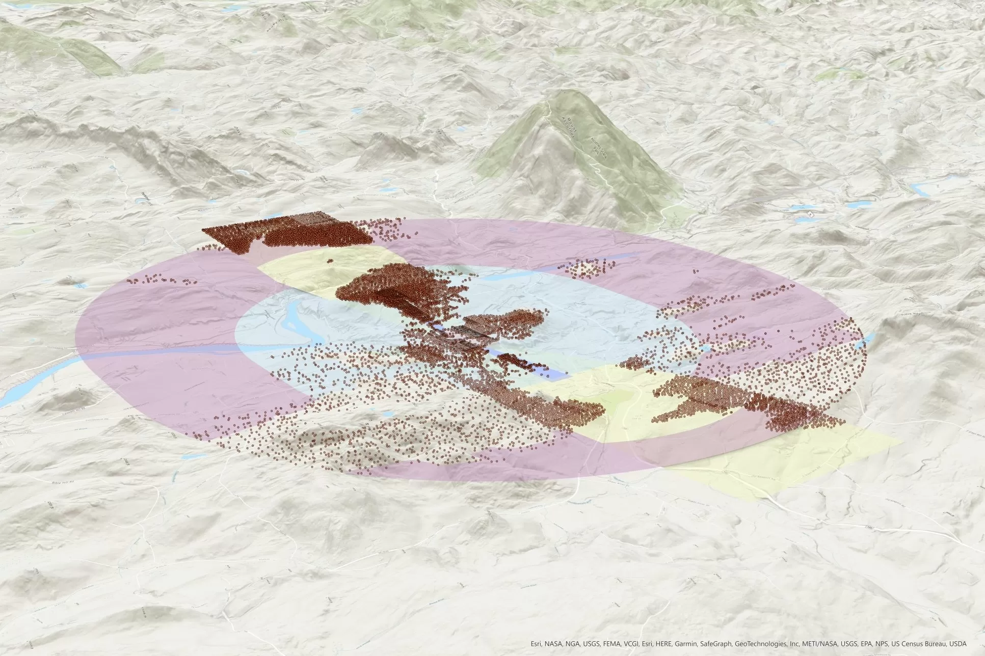
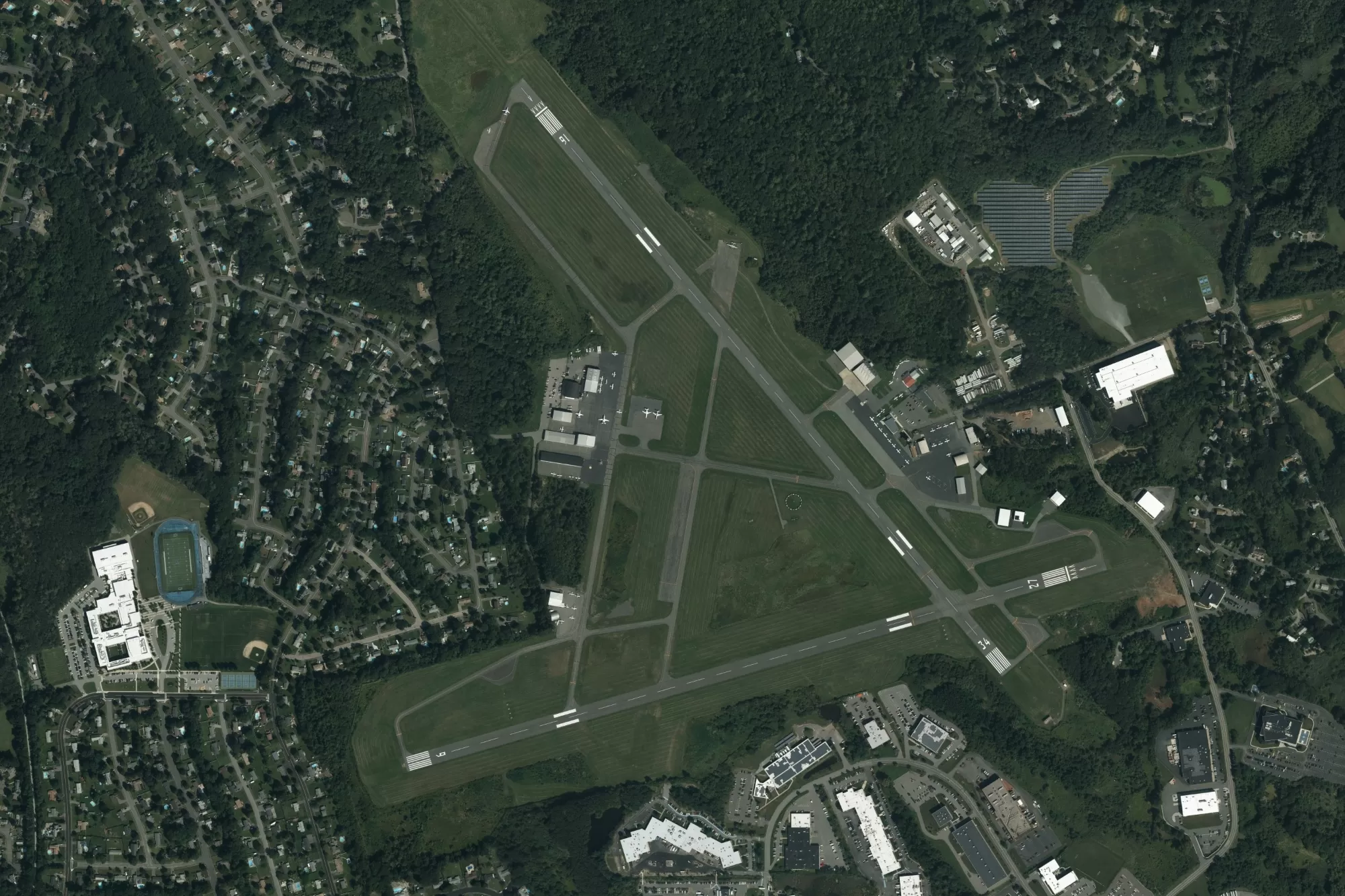
Airport Mapping
The Bluesky team has extensive experience in producing airport airspace obstruction information and topographical mapping for both domestic and international airports.
Bluesky has been successfully acquiring imagery for airport projects to meet FAA Advisory Circular 150-5300-17c specifications for many years. Additionally, our photogrammetrists have extensive experience in collecting and delivering to AGIS airport mapping, which meets the specifications of FAA AC 150-5300-18b.
We create orthophotos from high resolution aerial photography, capturing the entire airport property and surrounding airspace area, to provide airport administrators unparalleled visual information about their facilities. We are also seeing an increase in airport authorities using LiDAR data to inform obstruction analysis reports.
Bluesky operates the most advanced LiDAR equipment available, ensuring the quick and efficient capture of high accuracy point density. LiDAR supports the creation of accurate surface models for contour generation and ortho generation.
Airport data is submitted to AGIS in AutoCAD Civil or ArcGIS format in accordance with current FAA Advisory Circular specifications.
Applications
- Airport Layout Plan development
- Obstruction analysis
- Vegetation & wildlife management
- Infrastructure upgrades
- Easement analysis
- Procedure development
Benefits
- Long term planning
- Compliance with FAA regulations
- Economic development
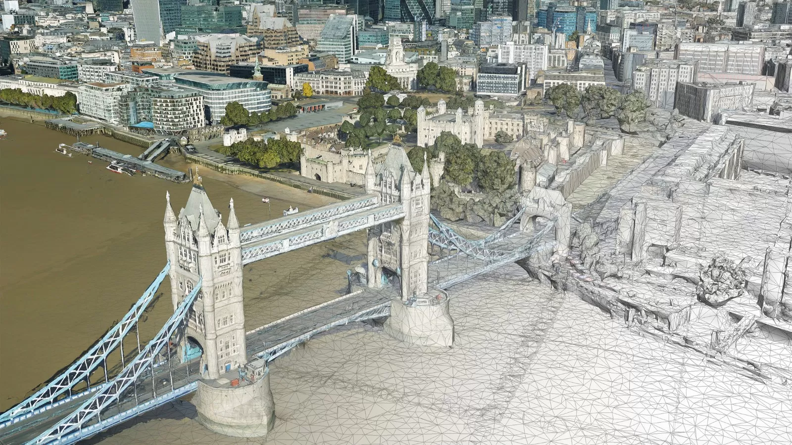
Airport Mapping Examples