Our customers
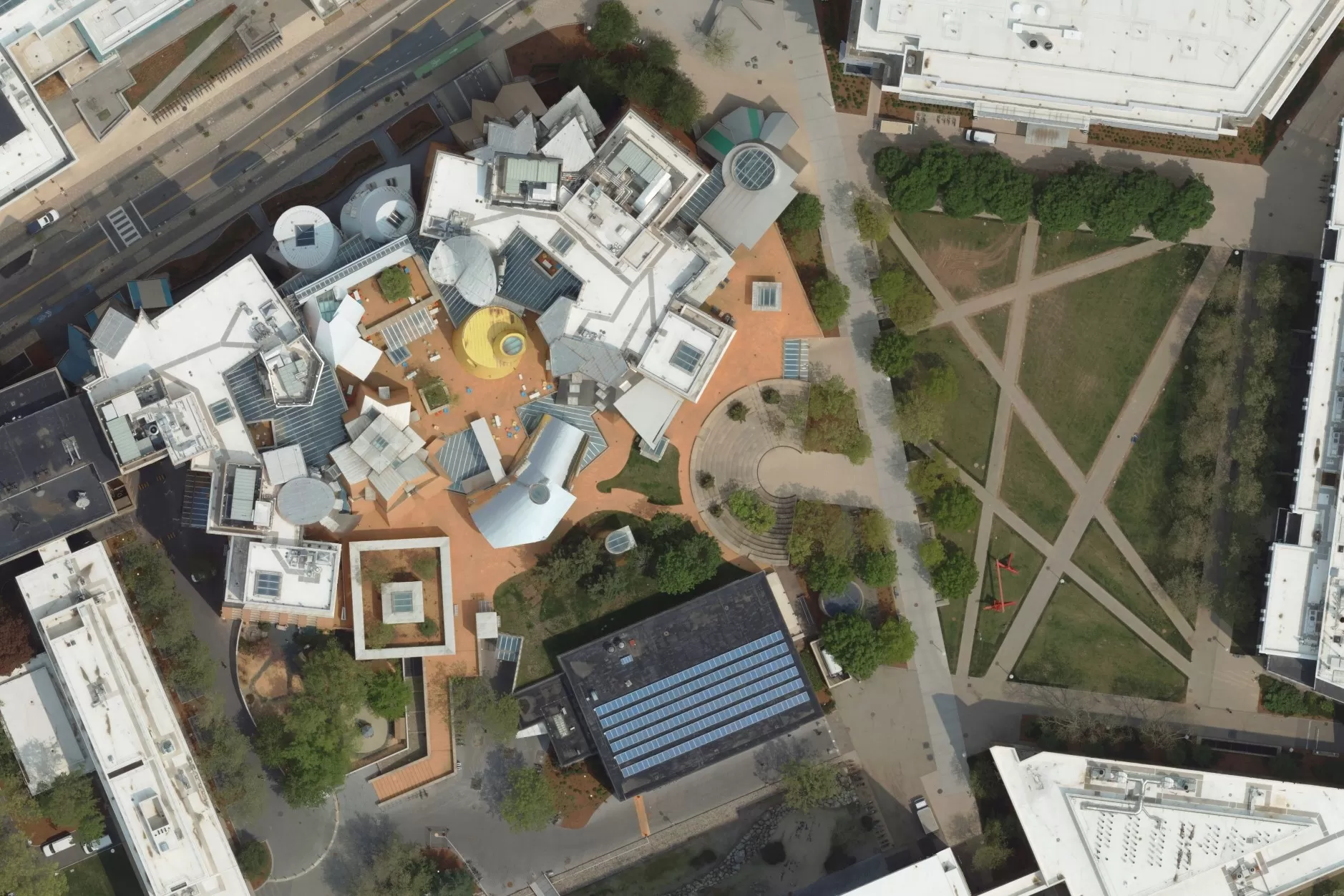
We work with a wide range of clients across a diverse range of both public and private sectors and industries. Bluesky’s data helps our customers streamline their projects, accessing valuable site information from their desktops saving considerable time and money whilst enabling them to make informed decisions.
Our memberships
Bluesky is proud to be a member of several leading industry organisations including MALSCE, NYSAPLS, RISPLS, CALS, and NHLSA.


Our cameras and sensors
We operate a range of aircraft and sensors including a Microsoft Vexcel UltraCam Eagle Mark 3 with UltraMount and a Leica CityMapper 2 which allow the simultaneous collection of vertical and oblique imagery, as well as LiDAR data.
These systems put us in the enviable position of being able to provide customers with unique and cost-effective geospatial solutions.


