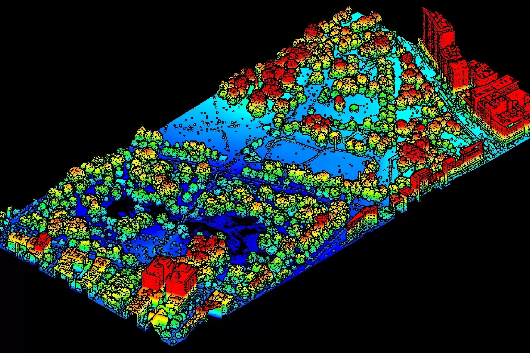
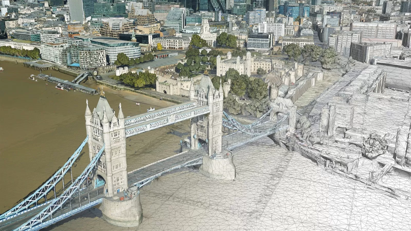
LiDAR Height Data
LiDAR provides highly detailed and accurate terrain information capturing the height of both the terrain and any above ground features, such as trees or buildings. It offers a fast, efficient and cost-effective method of capturing high resolution, accurate height data across wide areas.
Bluesky’s Leica CityMapper 2 LiDAR sensor is integrated with both a large format photogrammetric vertical survey camera and four oblique cameras providing an incredible amount of detail and information about your area of interest.
We offer custom surveys that are operated from end-to-end by our highly experienced in-house team of experts.
Being based in Massachusetts, we are ideally placed to operate LiDAR capture projects across the Northeast US region, but we are also happy to discuss projects for other US regions and even worldwide, including the UK and Europe.
Commissioning a LiDAR survey from Bluesky Geospatial ensures that your data is acquired by the latest technology and is delivered by an experienced, customer focused team.
Specification
-
Point cloud or gridded data
-
Custom surveys up to 60ppm
-
Exceptionally high vertical accuracy of up to ± 3cm RMSE
-
Wide variety of formats (inc LAS, ASC, TIFF)
-
Compatible with most CAD & GIS software
Applications
-
Urban environments
-
3D models & network planning
-
Flood risk
-
Forestry
-
Transmission lines, highways, corridor mapping
-
Archaeology
-
Wind farm planning
-
Coastal surveys
-
Quarries
Benefits
-
Unparalleled detail
-
High accuracy
-
Custom surveys by commission
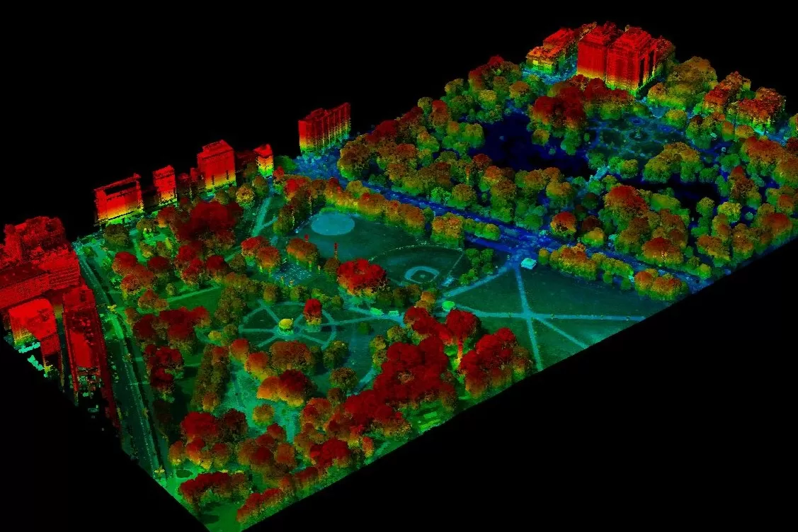
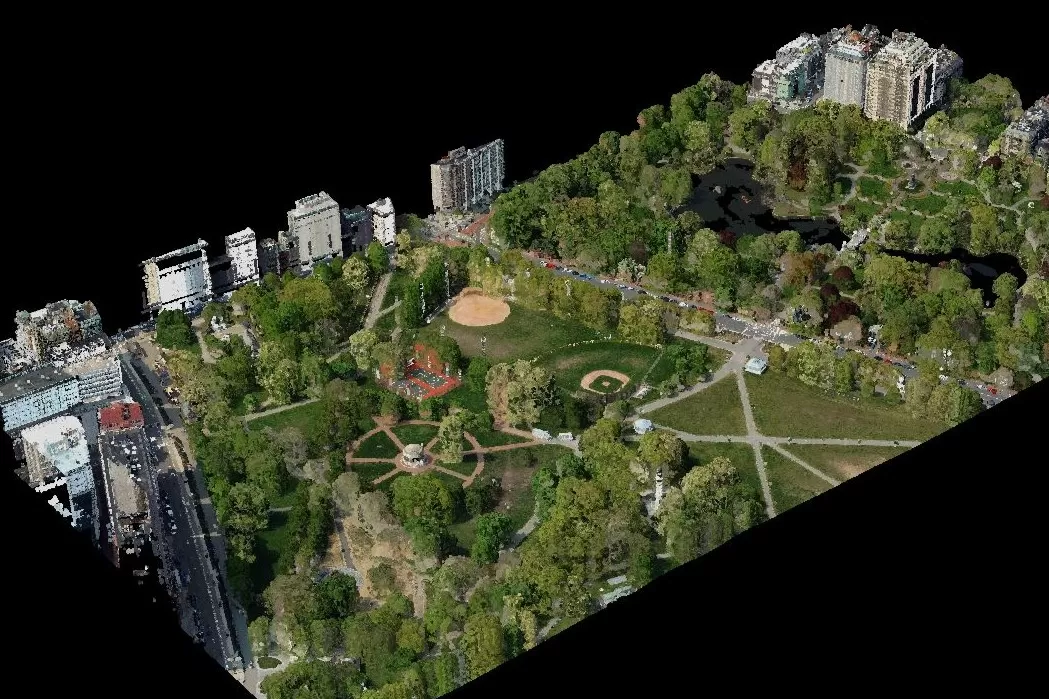
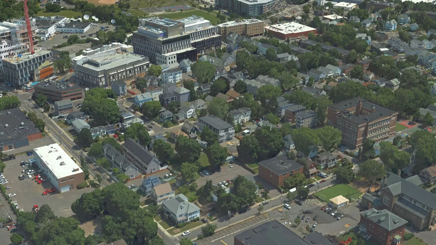
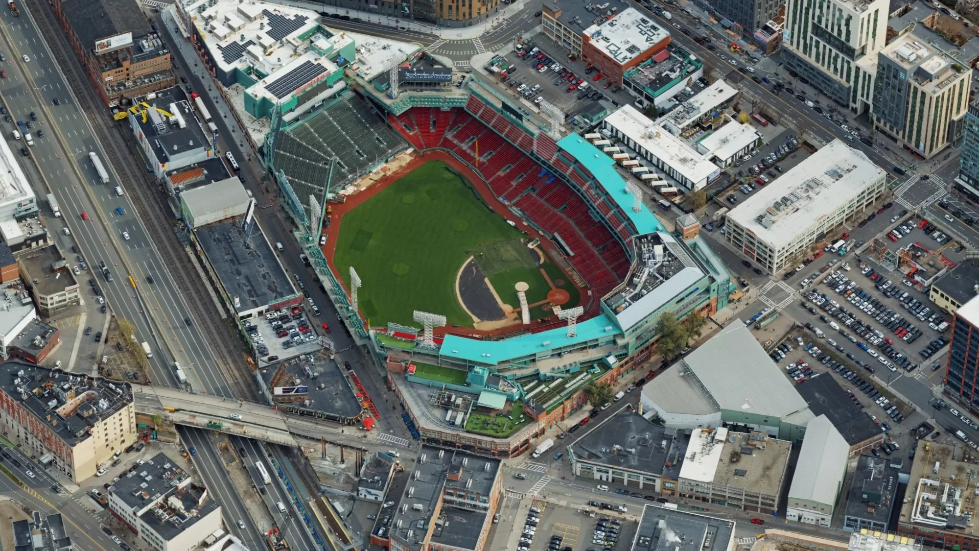
Examples of our LiDAR services