Aerial Photography
Aerial photography plays an important role across numerous sectors and industries from environmental monitoring and sustainability programs to informing policy and its implementation, planning, enforcement, and network analysis.
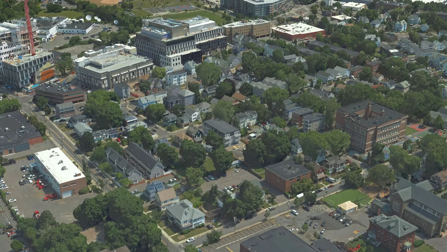
We provide an end-to-end custom solution to manage your aerial photography requirements with varying resolutions available.
We manage a high standard of quality control by owning all areas of the process from the flight operations, data capture, and processing in-house, all undertaken by a highly experienced team who are passionate about producing quality products for our customers.
We are committed to investing in the latest capture and production technologies, ensuring our aerial photography products and services are second to none.
Bluesky’s high resolution orthophotos are GIS/CAD ready.
Specification
-
Custom capture from 2cm to 25cm resolution
-
Stereo imagery in Level 0 or Level 3 with EO
- True orthorectification is available
-
Meets ASPRS accuracy standards
-
Many formats (incl. JPG, TIF, ECW)
Applications
-
Town Planning & Enforcement
-
Property & Facilities management
-
Land use classification & analysis
-
Environmental monitoring
-
Flood mapping
-
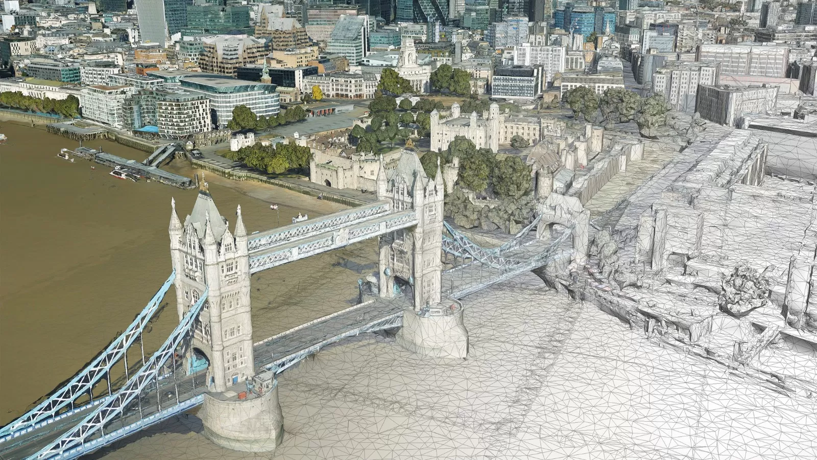
3D visualization
-
Cartography
Color Infrared
As concerns for the environment grow, color infrared (CIR) photography offers a unique tool to assist with the assessment of the health and state of vegetation. It also helps to identify areas of healthy vegetation from non-vegetated areas. The near infrared data is captured at the same time as the standard color (RGB) aerial photography.
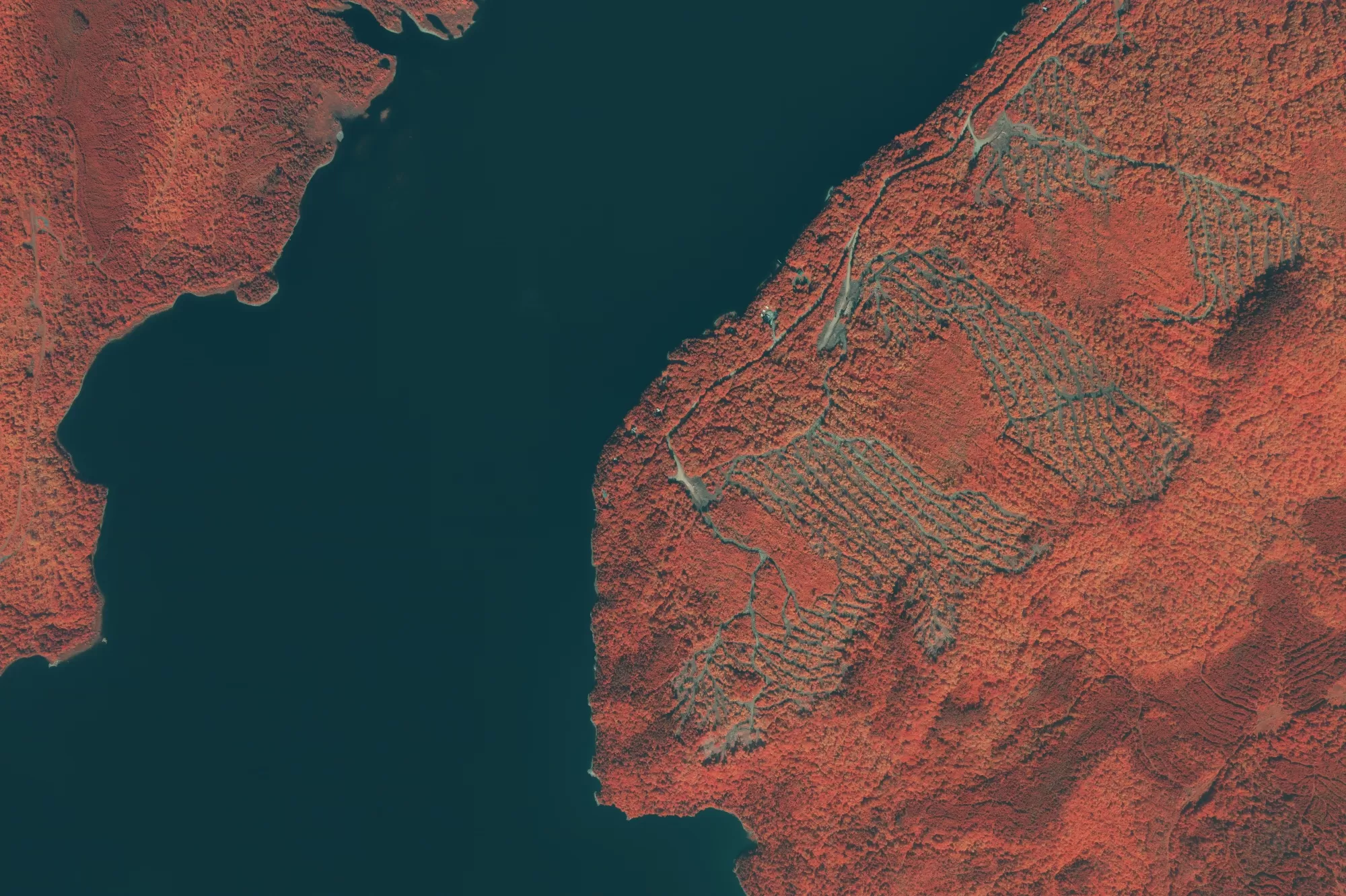
The combination of the four bands can be used during specialist image processing techniques such as NDVI (Normalized Difference Vegetation Index). Used in conjunction with other geospatial data it can assist in the making of informed decisions.
The near infrared data is collected via the Vexcel UltraCam Eagle or the Leica CityMapper 2 at the same time as the visible (RGB) data. The color infrared image is then generated from near infrared spectral band and the red and green bands. This is then processed in a similar manner to the aerial photography. The data is stored in an uncompressed format to ensure the integrity of the color information and can then be used to generate indices such as NDVI.
Applications
-
Crop management
-
Environmental monitoring
-
Coastal management
-
Determine foliage health
-
Identify surface materials
-
Afforestation & deforestation studies
-
Soil sealing
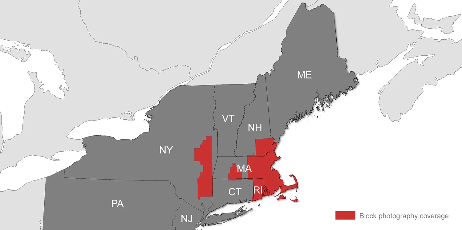
Existing Imagery Coverage