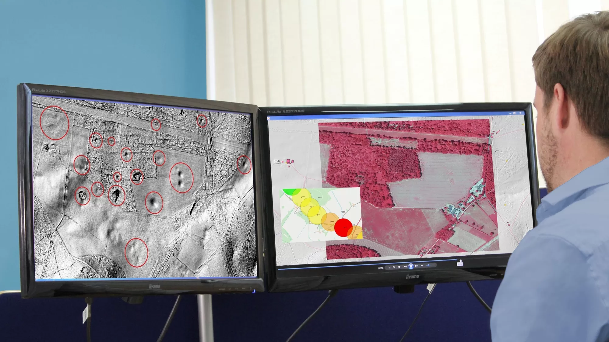
Multi-spectral imagery from Bluesky International is helping developers contribute to government targets to protect and conserve wildlife habitats in the UK. Using the latest Artificial Intelligence (AI) technology, in combination with Bluesky’s four band aerial photography, technology company Gentian has created computerised workflows that recognise and separate different habitat types remotely and autonomously in a bid to quickly identify and protect them on sites earmarked for development.
Using Bluesky’s data, Gentian’s automated habitat classification provides evidence to demonstrate compliance with biodiversity net gain (BNG) regulations, which will be a legal requirement for developers from November 2023. Gentian’s technology has already been used to map more than 150 million square metres of habitat in the last 12 months.
“Biodiversity net gain is a planning process that ensures all new developments across England deliver 10 per cent net gain – firstly on site and, where that is not possible, off site. The aim is to ensure habitats for wildlife are positively created in new developments, both in rural and construction projects”, explains Dusty Gedge, Founder of Gentian and President of the European Federation of Green Roof Associations.
Alex Back, Lead Technologist at Gentian, adds: “By applying deep learning to the Bluesky multi-spectral imagery, we can provide an automated ecological assessment of the site from the desktop offering a significant reduction in risk, costs and time compared to a manual survey.”
He continues: “Working alongside a developer, we evaluated a number of sites that had previously been the subject of a traditional Phase 1 Habitat Survey. Using our technology in combination with the Bluesky data, we achieved an extremely close match with ground truth results. This represents a significant breakthrough and means it is possible to get an accurate assessment of habitat types across an area in a fraction of the time and at a fraction of the cost.”
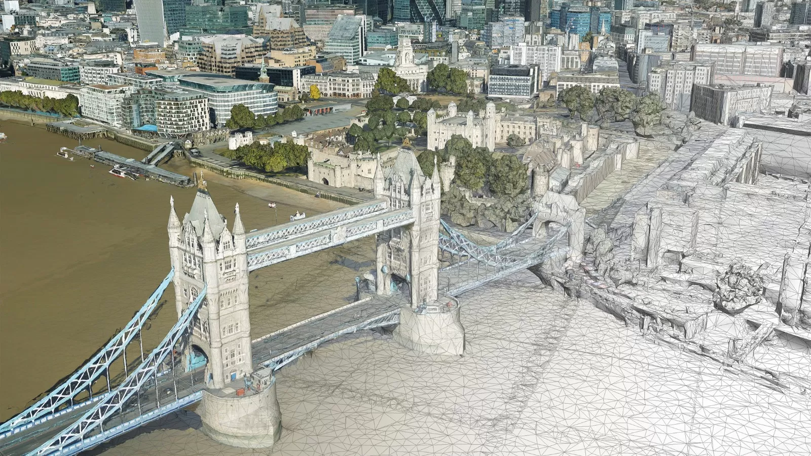
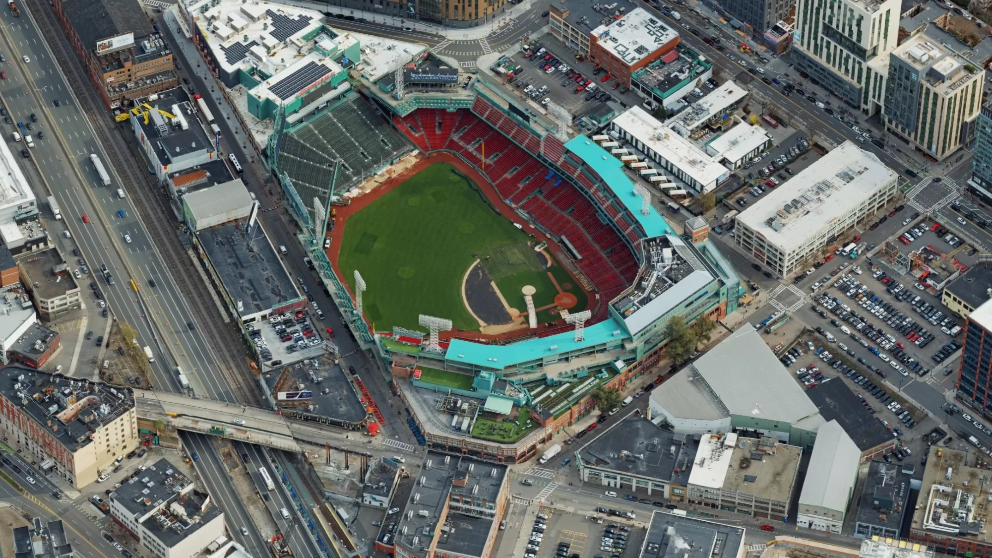
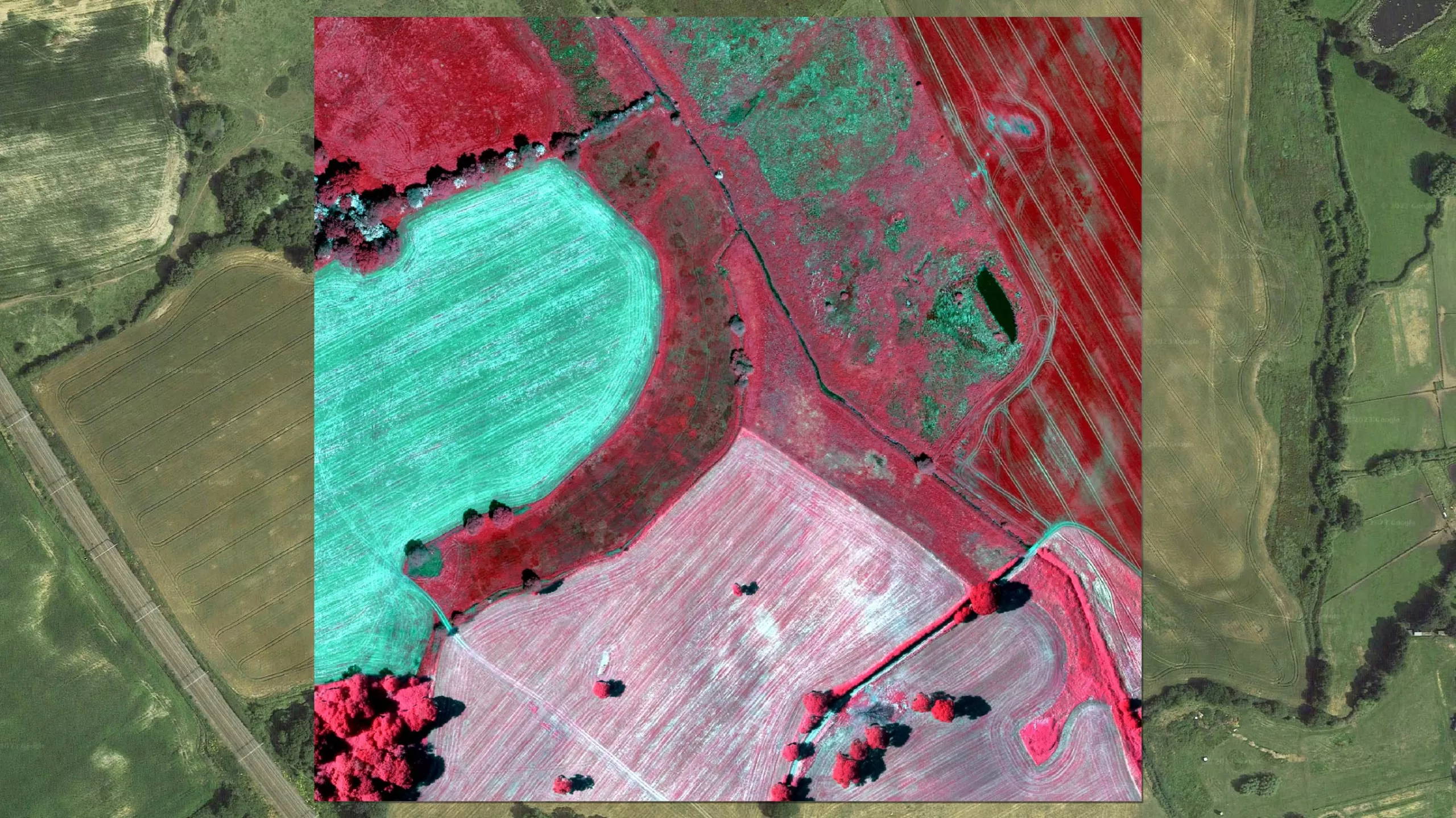
The Bluesky photography used by Gentian includes simultaneously captured traditional RGB (Red Green Blue) bands combined with the Near Infrared wavelength to produce false colour or Colour Infrared images. Traditional RGB imagery is useful for picking out distinguishing habitat characteristics, such as tractor marks in arable areas. CIR photography is a useful way of assessing the health of vegetation as healthy plants reflect more of the NIR wavelength, and therefore appear brighter in the image. It can also be used as a tool to evaluate water quality as water absorbs the NIR wavelength whilst sediment and suspended particles reflect it.
Ralph Coleman, Chief Commercial Officer at Bluesky, commented: “The use of geospatial data to assess our environment is commonplace, but as we increasingly look to protect our natural environment and limit the impact of modern living, applying deep technology like the algorithm Gentian has developed to our data means we can work faster and smarter, helping us to deliver measurable improvements for biodiversity net gain.”
Gentian is one of the first movers to automate habitat recognition. It’s algorithms are fully geared towards providing a fast, highly accurate, reliable and autonomous solution for ecological surveys, opportunity mapping, capturing baseline evidence and biodiversity net gain assessments.
Under the Environment Act of 2021, all planning granted in England, with a few exemptions, will have to deliver at least 10 per cent biodiversity net gain. By delivering measurable improvements for biodiversity (biological diversity, for example all living organisms, including animals, insects, plants, bacteria and fungi), BNG will ensure that habitats are created or enhanced as a result of developments.