A geotechnical and consultancy agency is using geospatial data to work smarter, saving significant time and money, both for themselves and their clients. Card Geotechnics Ltd (CGL) is applying aerial survey data from Bluesky International as part of its investigation stage on proposed developments across the UK.
CGL prepares detailed reports for its clients on sites that range from residential developments to investigations for long, linear overhead powerlines. High-resolution aerial photography, specialist imagery and LiDAR terrain maps from Bluesky are helping to identify areas of high geological hazards and associated risks, such as sinkholes in chalk and other soluble rocks, saturated soft ground and peat deposits presenting compression hazards and areas with slope instability and landslides.
The Bluesky data enables CGL to provide an accurate first level expert interpretive scan of a site to assess and target more intrusive surveys for additional investigation and detailed design, saving time and money within the development process. “The UK has many diverse landscapes with a wide spectrum of geological hazards, each of which can present challenges for development,” commented Dr David Giles, Technical Director at CGL. “Using geospatial data from Bluesky we have developed a digital imagery consultancy provision to offer the visualisation, analysis and interpretation of data for site investigations. This provides our clients with substantial cost and time savings.”
One example of how CGL is using Bluesky data is the identification of natural and anthropogenic hazards associated with chalk bedrock. An important aquifer which is highly susceptible to dissolution, chalk bedrocks are widely found across northern, central and southern England. This dissolution makes the development and presence of karstic topography, characterised by underground drainage systems including sinkholes and caves, a widespread occurrence. The features are hazardous because they provide possible pathways to the underlying aquifer and therefore demonstrate potential site-specific contamination as well as posing significant risks to housing and commercial development. Many areas of the chalk bedrock have also been historically mined leaving a legacy of ground subsidence that can be identified on the digital imagery.
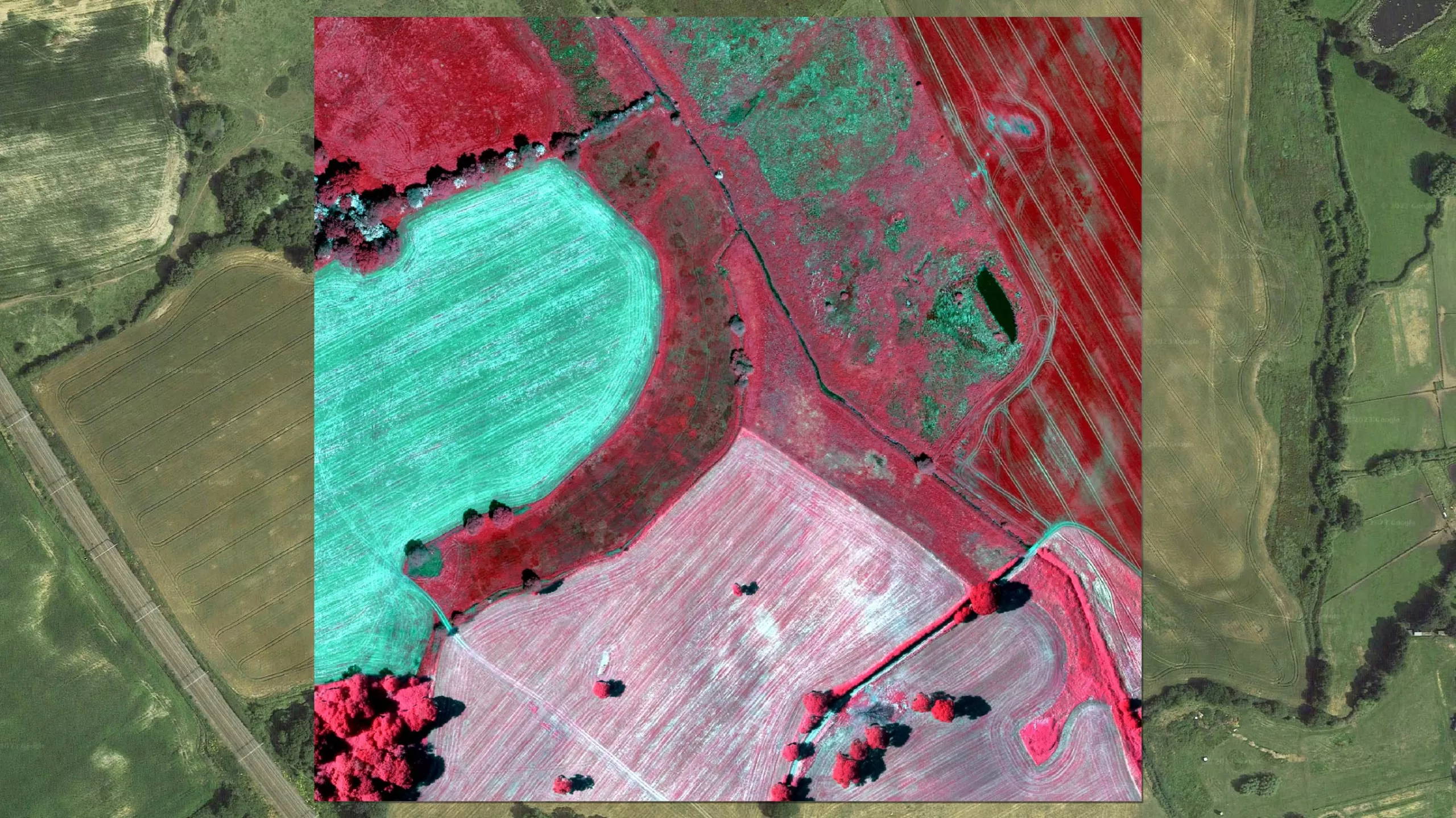
The Bluesky data used by CGL includes traditional aerial photographs which, when combined with the simultaneously captured Near Infrared wavelength data, can be used to produce Color Infrared (CIR) images. CIR photography is a useful way of assessing the health of vegetation as healthy plants reflect more of the NIR wavelength and therefore appear brighter in the image. It can also be used as a tool to evaluate water quality as water absorbs the NIR wavelength whilst sediment and suspended particle reflect it.
The Bluesky photography used by Gentian includes simultaneously captured traditional RGB (Red Green Blue) bands combined with the Near Infrared wavelength to produce false colour or Colour Infrared images. Traditional RGB imagery is useful for picking out distinguishing habitat characteristics, such as tractor marks in arable areas. CIR photography is a useful way of assessing the health of vegetation as healthy plants reflect more of the NIR wavelength, and therefore appear brighter in the image. It can also be used as a tool to evaluate water quality as water absorbs the NIR wavelength whilst sediment and suspended particles reflect it.
“The Bluesky images can be processed to enable classification and effective broad-scale mapping of different ground surface conditions allowing us to differentiate between rock and soil types, thick peat cover, water bodies and water courses as well as vegetation cover,” Dr Giles continued.
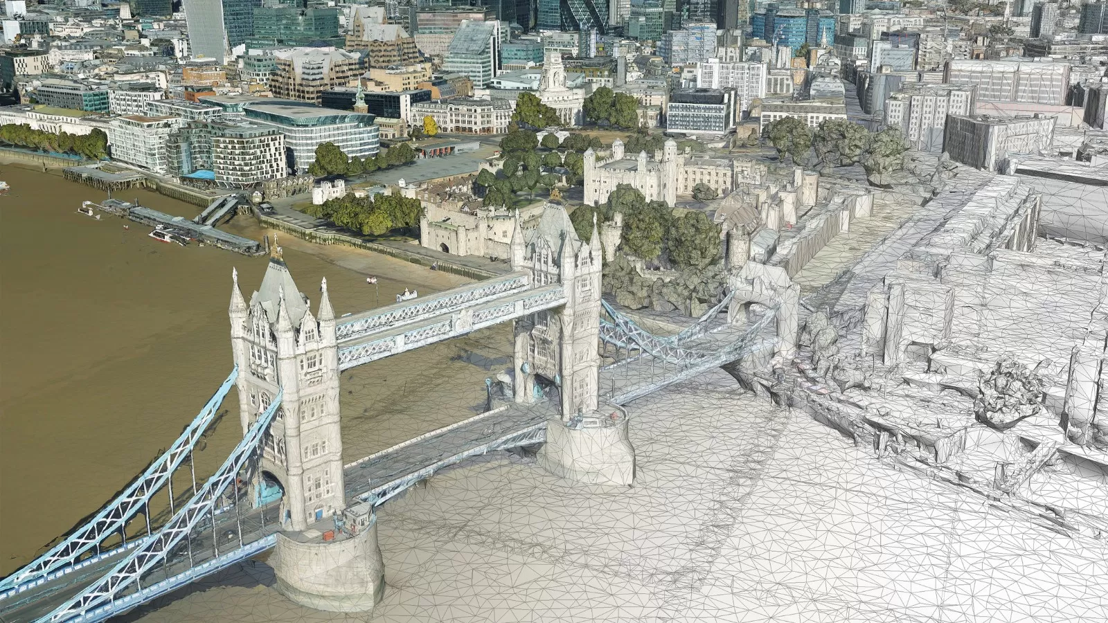
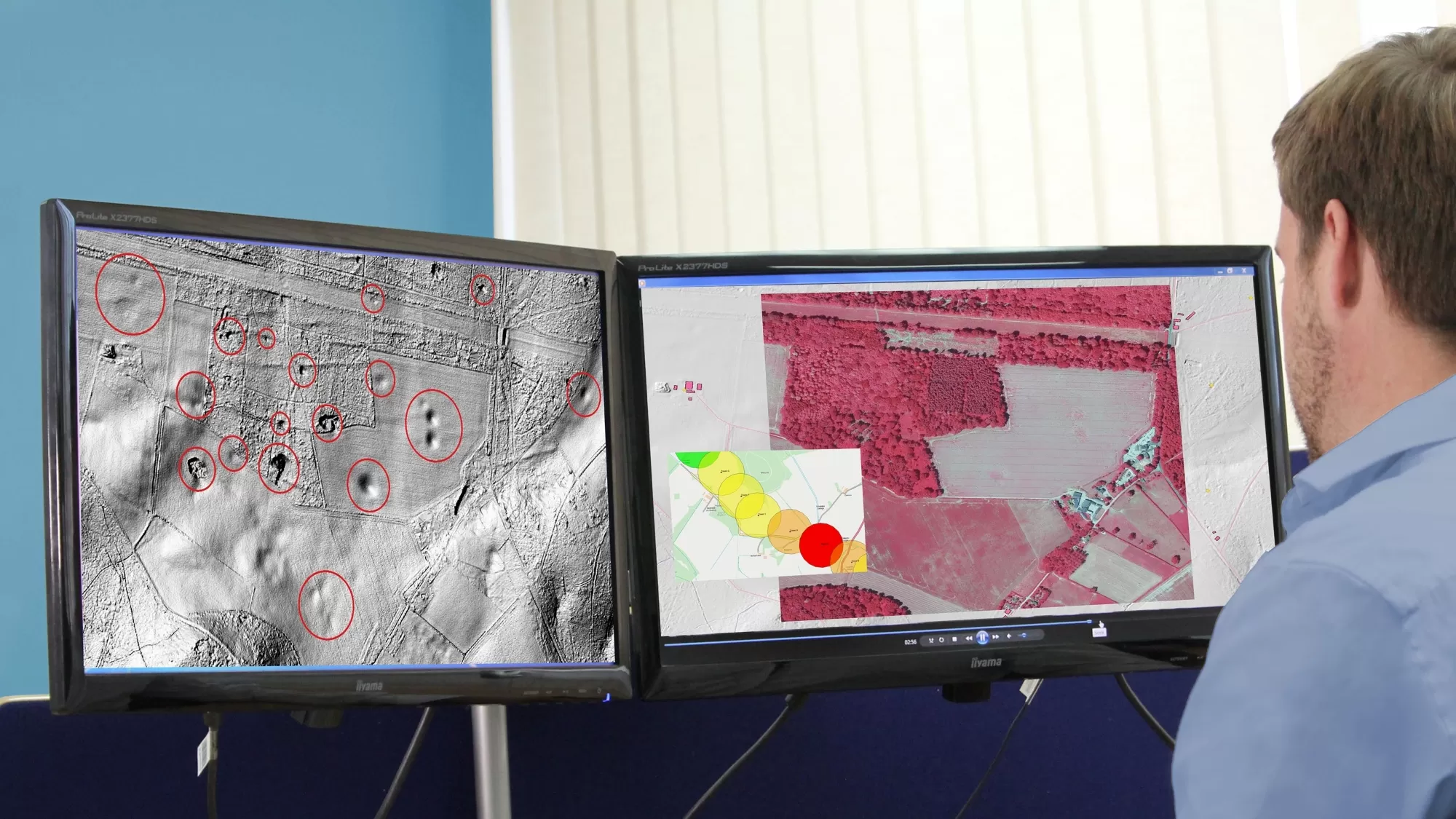
CGL is also using Bluesky’s LiDAR (Light Detection and Ranging) data, which is processed to produce both Digital Surface Models (DSM) that include vegetation cover and Digital Terrain Models (DTM), often referred to as bare earth models. LiDAR is extremely accurate allowing for various aspects of site assessment including flood hazard, geomorphological assessment and geological hazard identification.
“LiDAR models provide a highly accurate yet low-cost first development site scan which can identify construction and development risks at an early stage in the investment process,” concluded Dr Giles.
“Ground related issues can be interpreted from the imagery, delineating hazards that may not be possible to see or detect at the ground surface.”
Ralph Coleman, Chief Commercial Officer at Bluesky, added, “We are continually seeing the cost and time savings that accurate geospatial data offers customers across a range of industry sectors and applications. With a full UK coverage of aerial imagery, Bluesky is well-placed to support the delivery of investigation projects like these.”