MetroVista
In the age of conflicting pressures of urban expansion and environmental impact, it has never been more important to have the ability to visualize, analyze and manipulate a digital version of our physical surroundings. Often referred to as a Digital Twin, this new way of working has a broad range of applications for policy makers, planners, developers, engineers, surveyors, environmentalists and insurers.
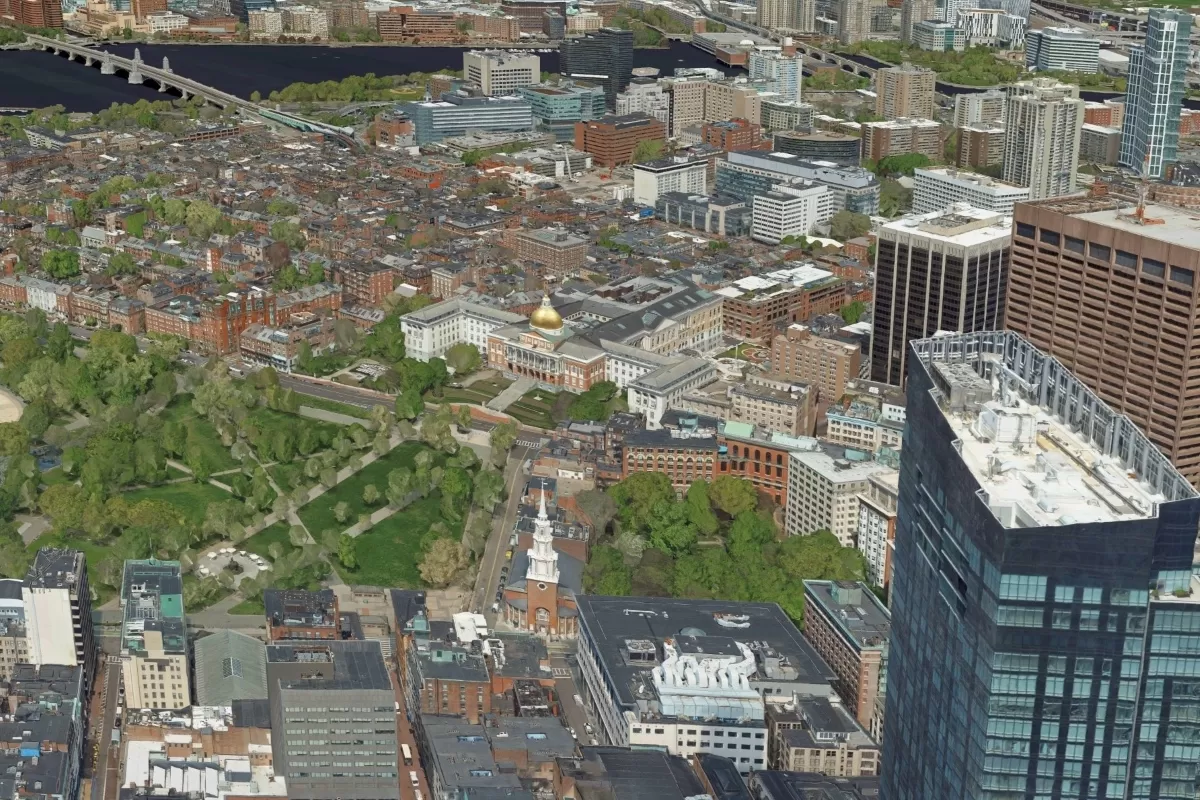
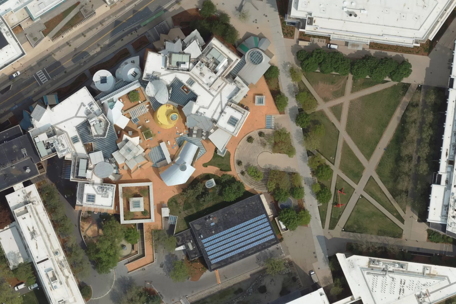
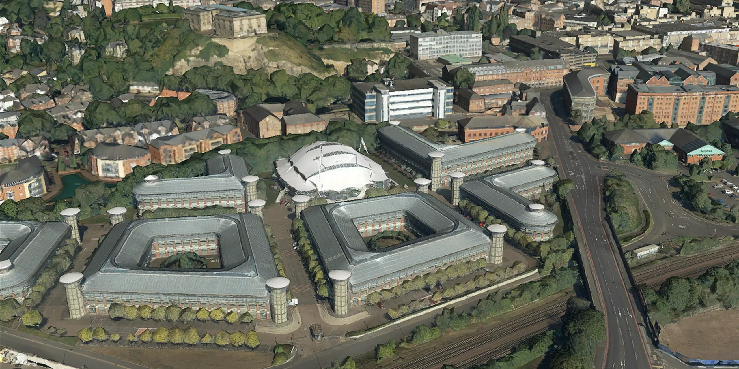
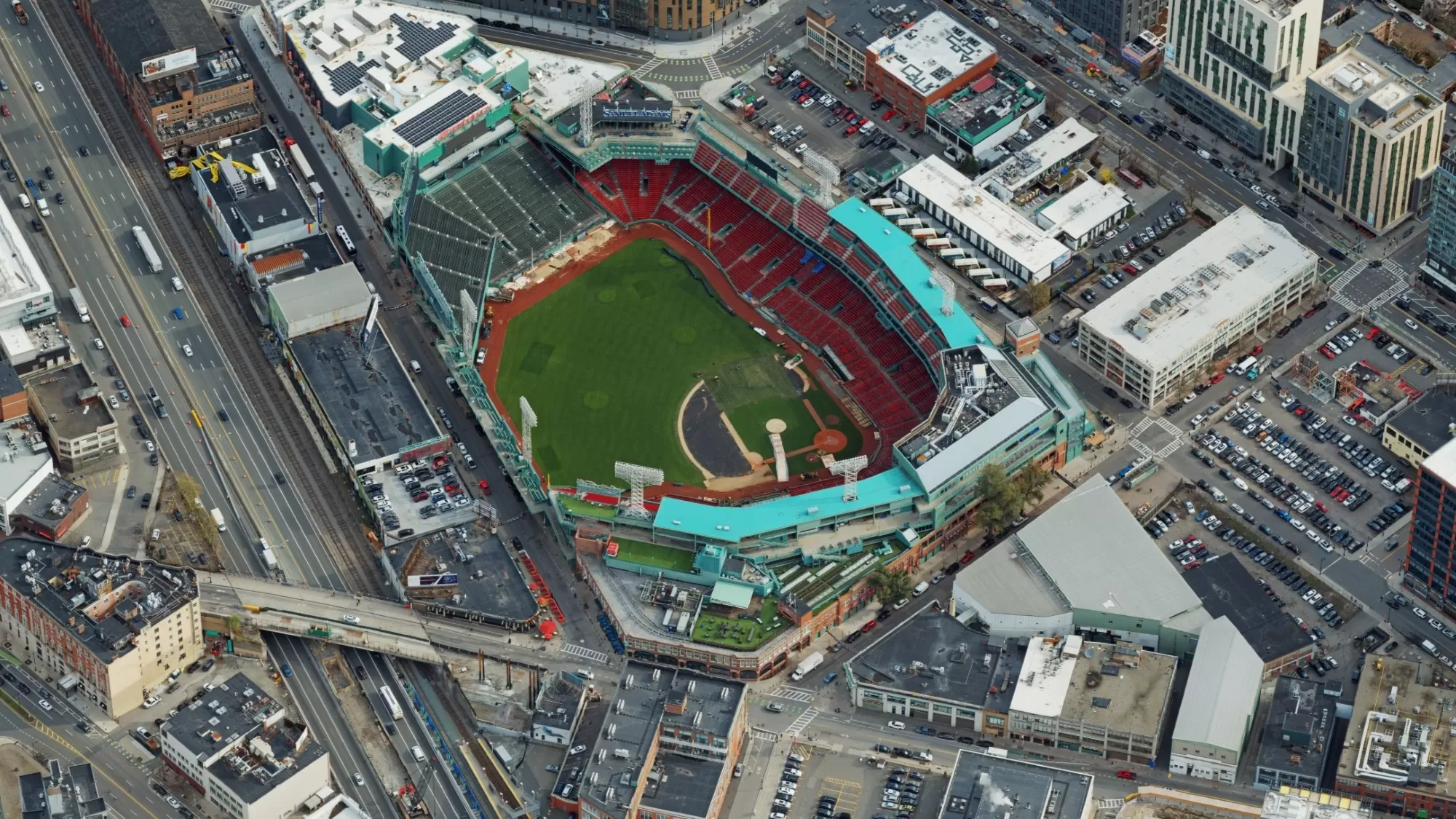
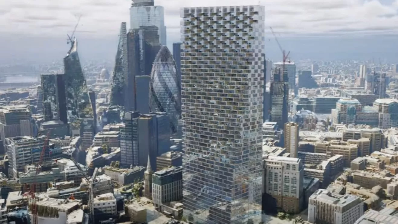
MetroVista mesh models are created using vertical and oblique imagery together with LiDAR data that is all captured simultaneously.
These 3D mesh models provide accurate real-world digital representations of our urban environments. The models enable users to access key asset information to help them manage and understand their surroundings.
3D geospatial data is emerging as the foundation of smart cities and digital twins, providing an exceptional level of accuracy and precision. MetroVista enables urban environments to be visualized and analyzed at your desktop in a way we have never been able to before. This detail and precision enables informed decision-making, infrastructure planning and resource optimization.
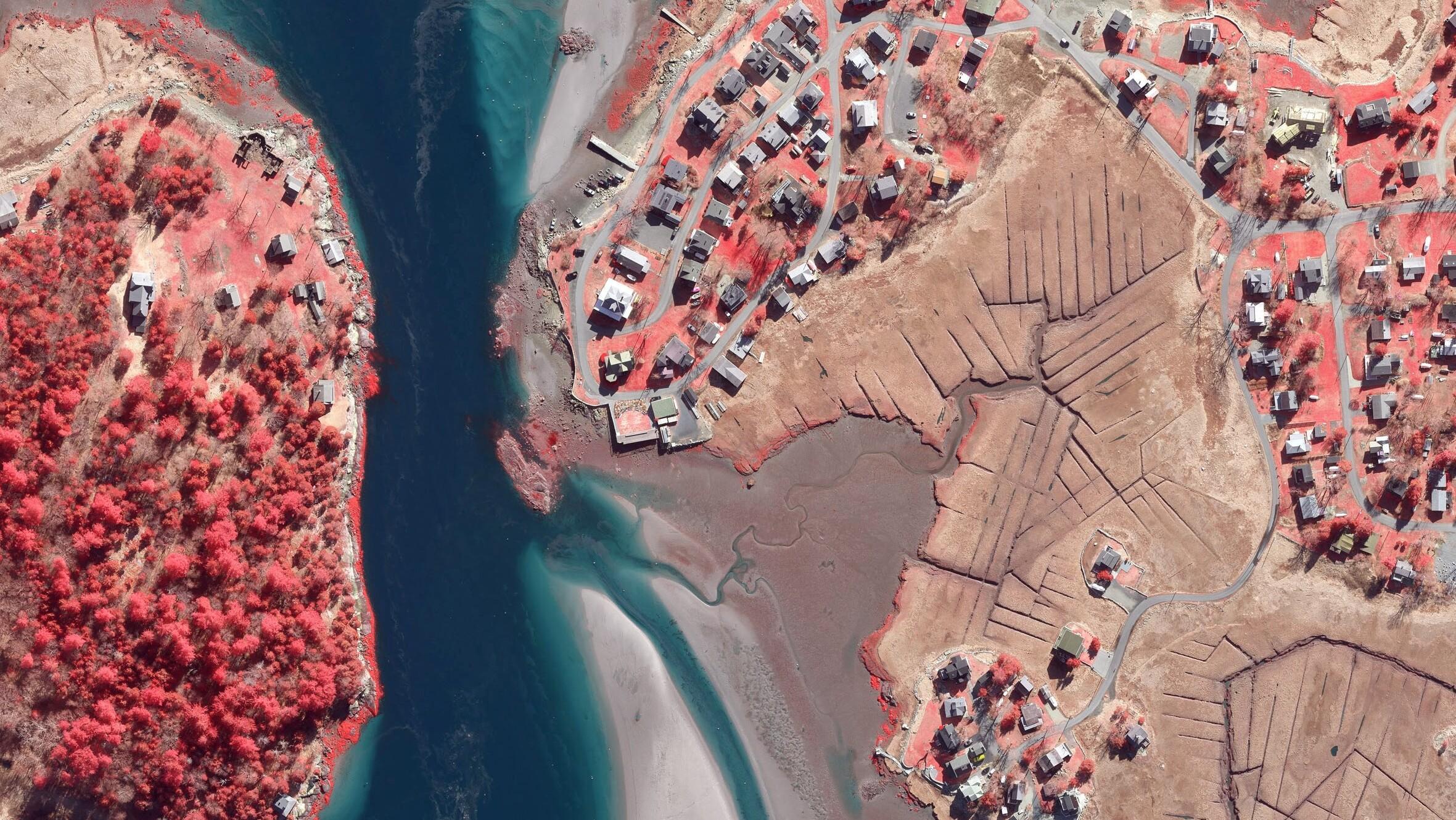
MetroVista data is captured using the Leica CityMapper 2, the world’s first hybrid airborne sensor combining oblique and nadir imaging as well as a LiDAR system into one sensor. The CityMapper’s simultaneous data gathering capabilities provide all the necessary outputs to deliver traditional 2D aerial ortho products or highly detailed static obliques, dense LiDAR point clouds or grids, and once combined offer invaluable geospatially accurate 3D city visualizations.
Specification
- 5cm ultra hi-resolution aerial photography and obliques
- LiDAR coverage from 16-100 points per metre
- Many formats (incl. JPG, TIF, KMZ, ACII, DXF, OBJ, FBX)
- For use with GIS, CAD and web mapping services
Applications
- Smart City and Digital Twin city modeling and analysis
- Visualization and simulation
- Insurance and risk assessment
- Energy and utilities
- Civil engineering
- Telecom
- Property and land development
- Urban planning and architects
- Real Estate
- Education
- Environmental impact
Benefits
- An enabler of the Smart City and Digital Twin vision
- Custom surveys by commission
- Create 3D interactive mesh models
- Datasets available separately or as fully rendered mesh models
MetroVista samples