Skip to content
  • flag image
  • flag image
  • Home
  • About Us
  • Our Services
    • Aerial Photography
    • MetroVista
    • LiDAR Height Data
    • Airport Mapping
    • Topographic Mapping
    • 3D Building Models
  • Our Work
  • News and Events
  • Work with Us
  • Contact Us
News and Eventscor_admin2025-06-27T09:30:46-05:00

News

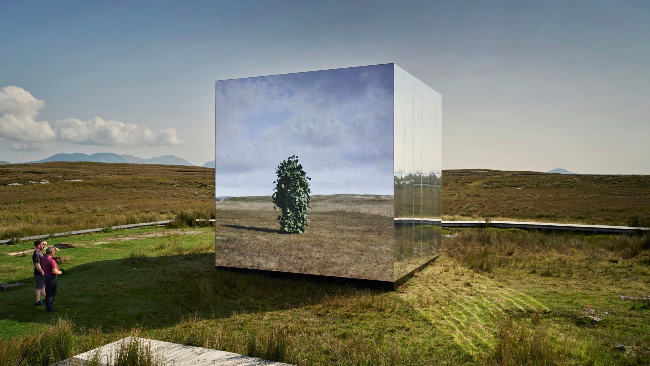
  • Bluesky Aerial Photomaps Feature in International Arts Festival

    Read More
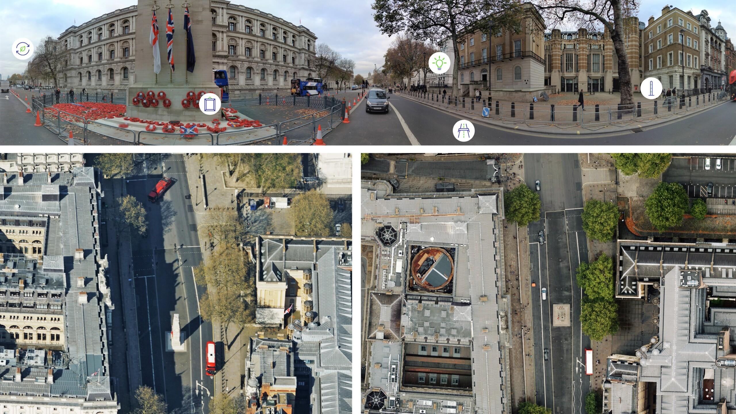
  • Bluesky Cyclomedia Partnership Combines Aerial and Mobile Mapped Data for Virtual City Models in UK

    Read More
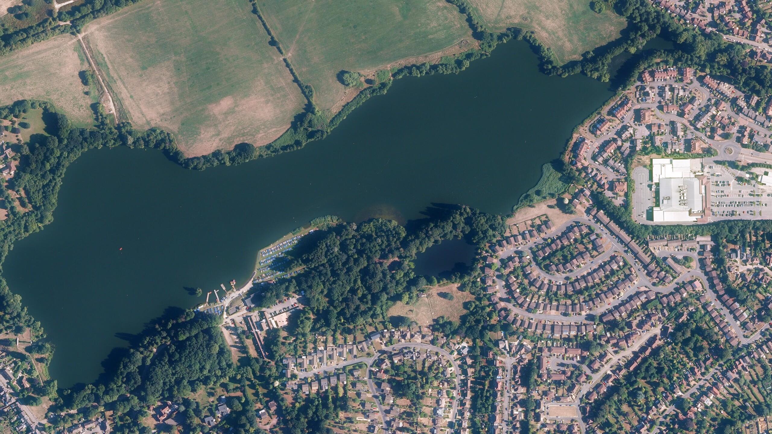
  • Bluesky and BlackSky Join Forces to Bring Satellite Imagery to the UK

    Read More
  • Bluesky MetroVista Models Transform Real Estate Marketing with 3D Visualizations

    Read More
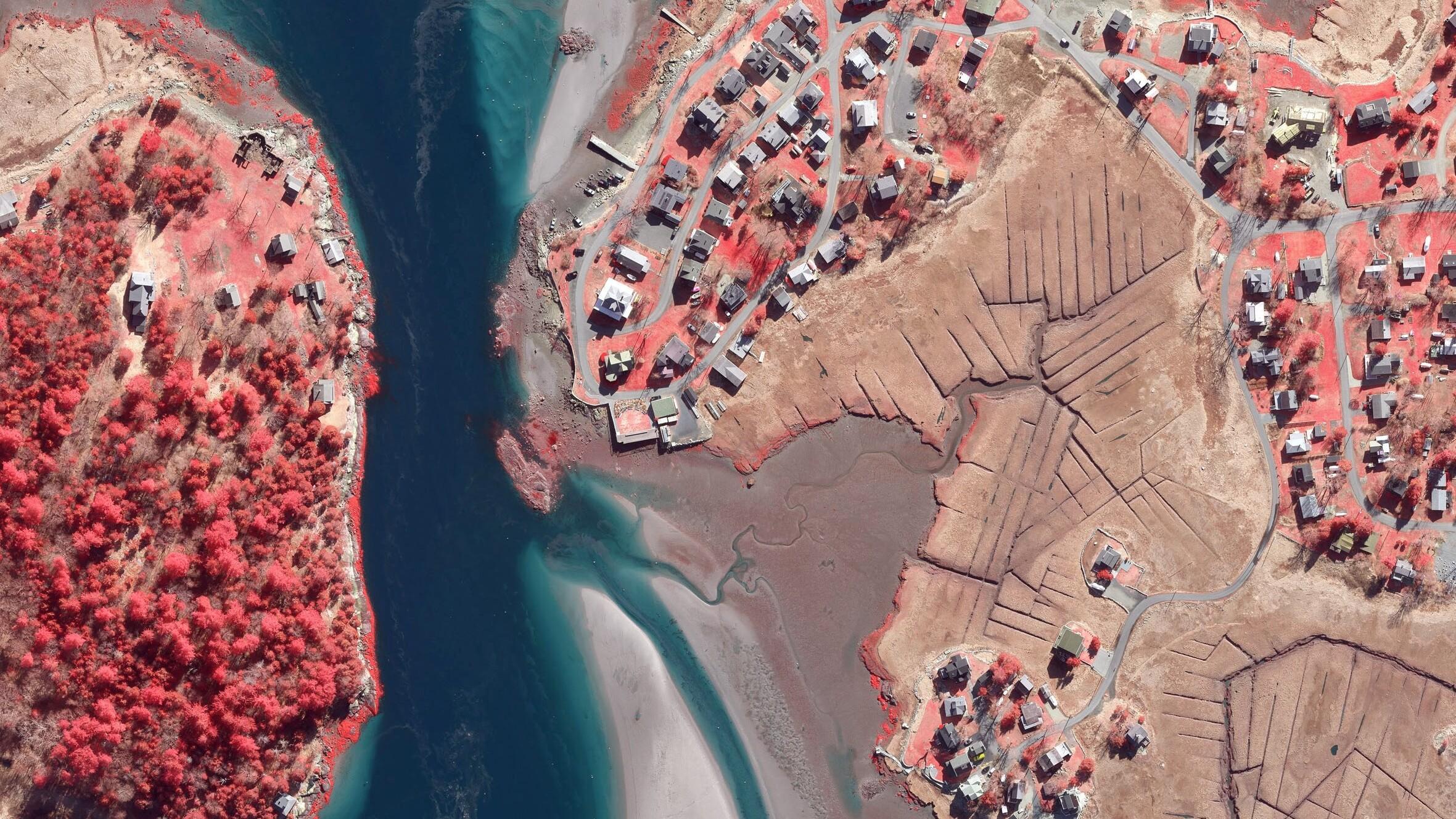
  • Boston University Uses Bluesky Aerial Photomaps to Research Climate Change

    Read More
  • Aerial Mapping Company Bluesky International Sets Out Plans for 2021 Flying Season

    Read More
Previous456Next
View all Our News

Events

  • 19th

    12th

    September, 2025

    Bluesky International’s Airborne Sensors Help Developers Protect Wildlife Habitats

    GPN New England (GPN‑NE) Conference

    Bluesky will be exhibiting at the 2025 GPN‑NE Conference at Bridgewater State University in Bridgewater, MA

    8th – 10th

    12th

    October, 2025

    Bluesky International’s Airborne Sensors Help Developers Protect Wildlife Habitats

    NYGeoCon

    Bluesky will be exhibiting at the 2025 NYGeoCon at the Olympic Conference Center in Lake Placid, NY

  • About Us
  • Our Services
  • Our Work
  • Samples
  • News and Events
  • Work With Us
  • Contact Us
800-359-8676
inquiries@bluesky-world.com

© 2025 Bluesky Geospatial Ltd  |  Terms & Conditions  |  Privacy Policy    

Page load link
Go to Top