We caught up with one of our Sales Executives, Shaun Vincent, to find out more about his role at Bluesky
How long have you worked for Bluesky?
I started in the summer of 1999 at Col-East which has since become Bluesky Geospatial after being acquired by Bluesky International Ltd. in 2017
What did you do at university?
I earned my Bachelor of Science in Geology from the University of Massachusetts in 1998. I gained topographic mapping work experience while doing fieldwork creating bedrock and sedimentary geologic mapping, along with some surveying experience. During and after college, I worked on a few field survey crews before switching into aerial survey. Prior to my current role as Sales & Mapping Specialist, I worked in a variety of roles including Aerial Camera Operator, CAD Manager, and ortho-imagery Production Technician.
How does a typical day in the life of your role look?
Most days I spend most of my time finding the right geospatial solution for a client’s specific needs. It could be imagery acquisition, topographic mapping, high-detail orthoimagery, or LiDAR height data. Every project site is unique and we customize our products to provide a cost-effective solution appropriate to the project requirements.
The next step is to then generate a quotation and this often involves liaising with multiple Bluesky departments to confirm location, clarify data currencies and specifications. Account management and customer relations is a big part of my role as a Sales Executive.
Day to day, I also generate new sales leads through a variety of direct contact, marketing initiatives, or attending (and sometimes speaking at) relevant conferences and exhibitions.
What does 2022 look like for you?
Busy! It has been our busiest year by far and I am sure it will continue.
What’s a memorable project you’ve worked on?
I really enjoy the coastal orthophotography surveys. The imagery from these flights is some of the most interesting and beautiful that we capture. They are challenging projects because there are a host of environmental conditions that must be just right in order to fly.
What are the biggest challenges and rewards?
One of the biggest challenges is preparing bids. Often we are working to tight deadlines but equally need to take the time to ensure customer requirements are met in the most efficient manner. For me the biggest reward is at the end of our busiest flight seasons (spring and fall), when we can take a deep breath and look back at all of the work we’ve accomplished.
What’s something that would surprise people about your job?
I still fill-in as an aerial camera operator once in a while. I enjoy the opportunity to get out of the office and fly around the Northeast and see what current ski conditions are on the mountains, or scope out new places to visit.
What skills are the most crucial to succeeding in this career?
Keeping informed on the latest technology is really important because changes and technological advancements happen quickly. In my current role as Sales & Mapping Specialist, it’s key to build a strong relationship with our clients, keeping open lines of communication with them as we work to find solutions for their project to meet their needs and expectations.
What’s your best advice for someone looking to move into this field?
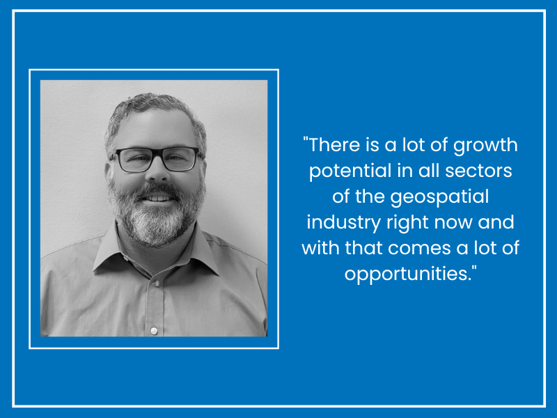
There is a lot of growth potential in all sectors of the geospatial industry right now and with that comes a lot of opportunities. While it helps, you don’t necessarily need a degree in GIS or geography, because the industry is multi-disciplinary. A great attitude, an understanding of the industries we work in and how geospatial might be applied to them is an advantage.


