We caught up with our Production Manager, Stuart Yorke, to find out more about his role at Bluesky.
How long have you worked for Bluesky?
I have been with Bluesky for over a decade, the first 5 years were spent in the UK on the Aerial Survey team. I then moved over to Bluesky Geospatial in the USA in 2018 initially as the Airborne Operations Manager but now I have taken on the role of Production Manager.
What did you do at university/college?
In 2008 I graduated from the University of Portsmouth, UK with a Degree in Geography. Prior to starting my degree, I wasn’t really sure what direction I wanted my career to go in, but while studying I took a shine to modules on GIS, Photogrammetry and Meteorology.
I also have a MSc in GIS which I completed in 2015, from the University of Ulster, UK. I did this as a part time student whilst also working full time as a sensor operator, but it was well worth it for solidifying the foundations of our field and introducing me to more advanced areas such as computer programming.
How does a typical day in the life of your role look?
It starts early, being in the US I initially like to check in on messages overnight from our offices in the UK and India while we have crossover in hours, and check on the overnight processing. From there my day typically then revolves around strategizing people, workflows and resources for numerous projects. Technical troubleshooting of all different kinds, and subsequently speaking with our clients. No two days are ever the same.
What does 2024 look like for you?
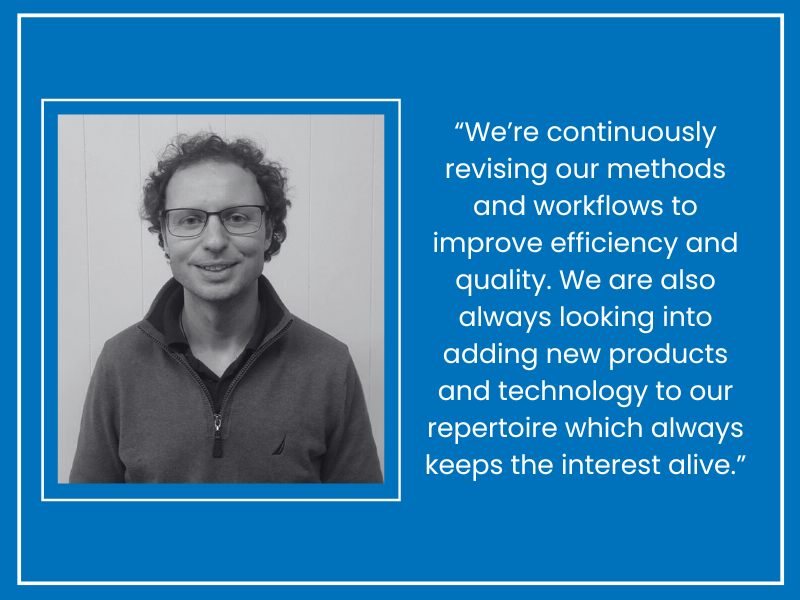
Busy. We are growing quickly here in our US office, so to keep up with growth in our traditional fields of mapping and acquisition we’re continuously revising our methods and workflows to improve efficiency and quality. We are also always looking into adding new products and technology to our repertoire which always keeps the interest alive.
What’s a memorable area you’ve seen from the aircraft?
I’m a big Formula 1 fan and many years ago I had the chance to survey Silverstone race circuit on race weekend. We organized it with the local air traffic for the event to do a low pass from our Cessna 402 just as the cars had lined up on the grid. Everything went like clockwork and we got our 3cm Large format shots of the cars and drivers all lined up… we could hear the roar of the race cars and crowds over our own engines.
What are the biggest challenges and rewards?
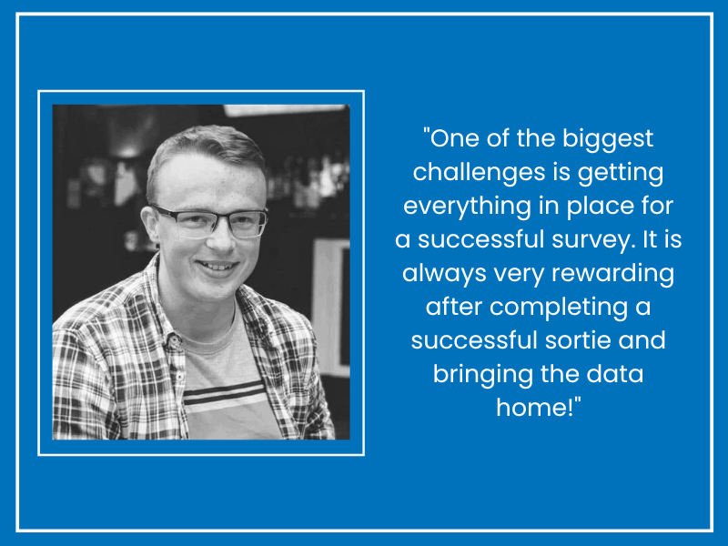
In the USA, ‘Leaf Off Season’ is the biggest challenge, each year we hope the weather gods give us some clear skies between the snow melting and the leaves budding. Usually at some point the weather co-operates and then it’s an influx of data, processing, then deadlines. It’s very satisfying at the end of a season to look back on how much ground was covered.
What’s something that would surprise people about your job?
During my years as a sensor operator I flew in light aircraft to perform surveys in over 16 countries, I have also worked on Mapping and GIS projects in many more. It’s a great way to see the world.
What skills are the most crucial to succeeding in this career?
With the degree of accuracy required in all aspects of this field, patience and a spot of humility are definitely required. Things need to be spot on, and we have meticulous levels of quality control ensuring our datasets are accurate.
What’s your best advice for someone looking to move into this field?
It’s a very diverse field where technology moves very quickly, so simply reading varied articles about the latest developments from camera manufacturers to software trends keeps you up to date and relevant for what your future employers &/or customers are looking for. This can range from LinkedIn posts to Academic Journals or White Papers.


