Skip to content
Search for:
Toggle Navigation
Home
About Us
Our Services
Aerial Photography
MetroVista
LiDAR Height Data
Airport Mapping
Topographic Mapping
3D Building Models
Our Work
News and Events
Work with Us
Contact Us
Search for:
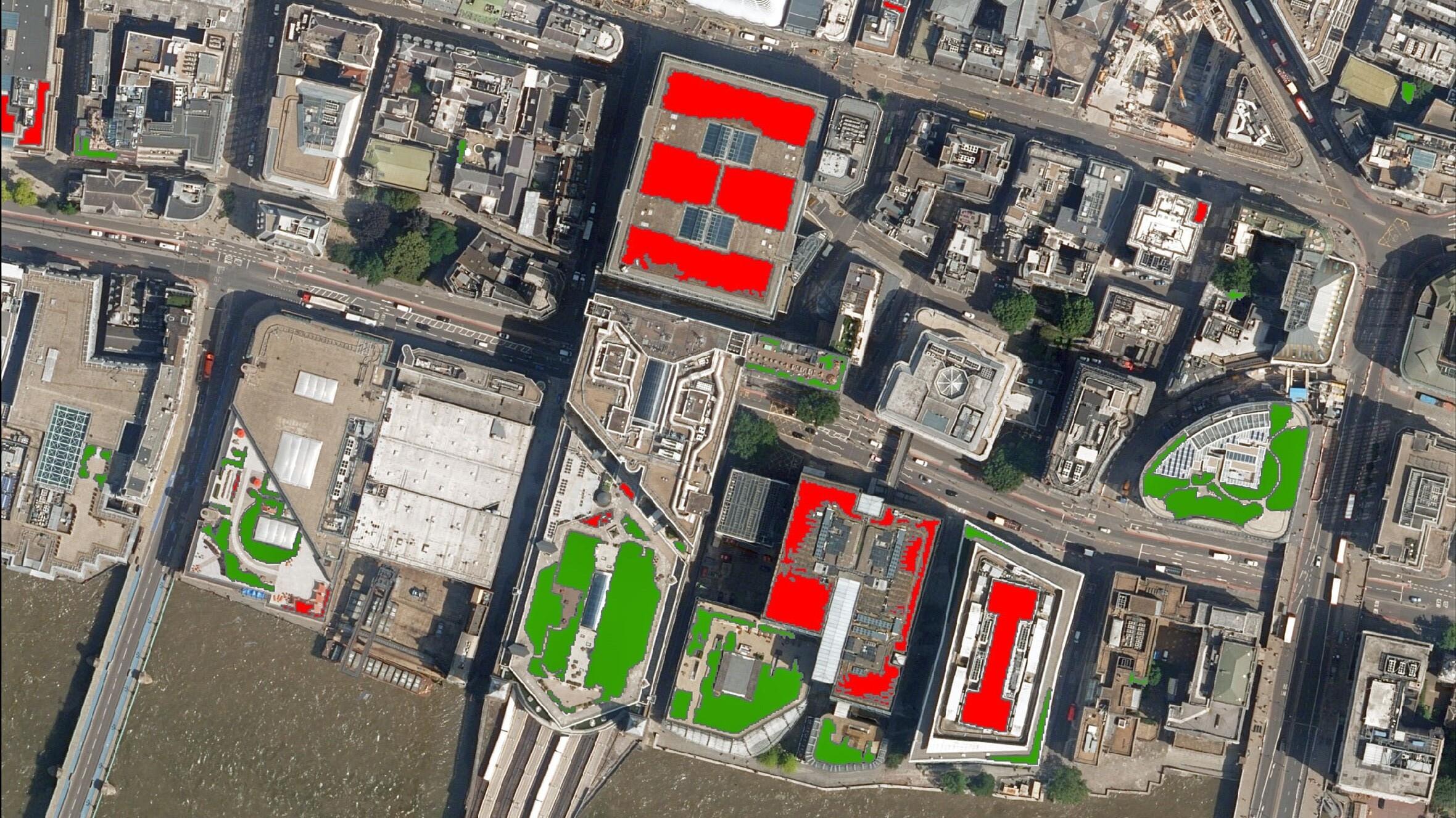
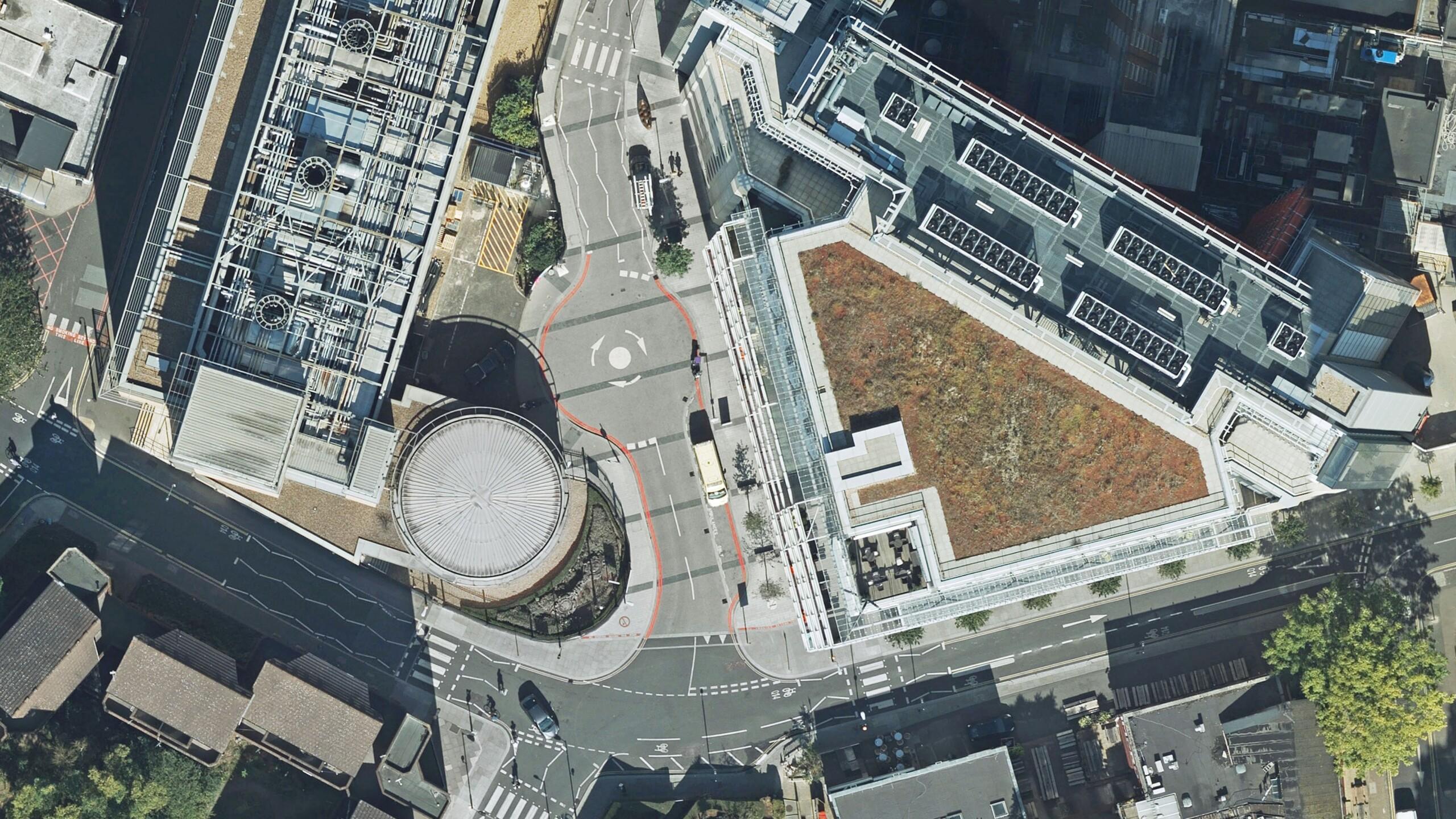
Bluesky Aerial Photography used to Map Green Roofs in UK
Read More
Hexagon Streams Bluesky GB Aerial Photography via HxGN Content Program
Read More
Bluesky Aerial Photomaps Feature in International Arts Festival
Read More
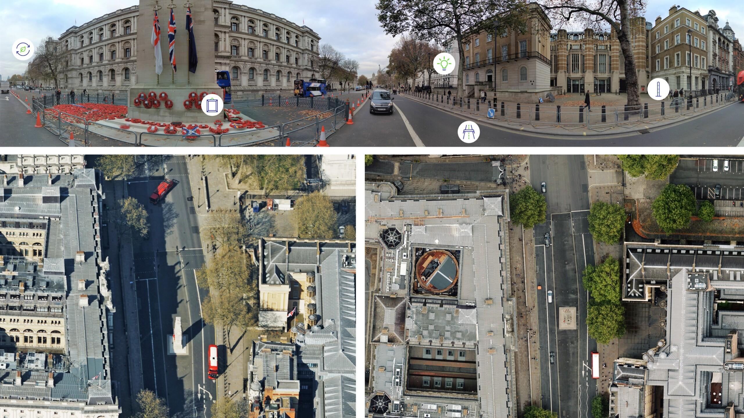
Bluesky Cyclomedia Partnership Combines Aerial and Mobile Mapped Data for Virtual City Models in UK
Read More
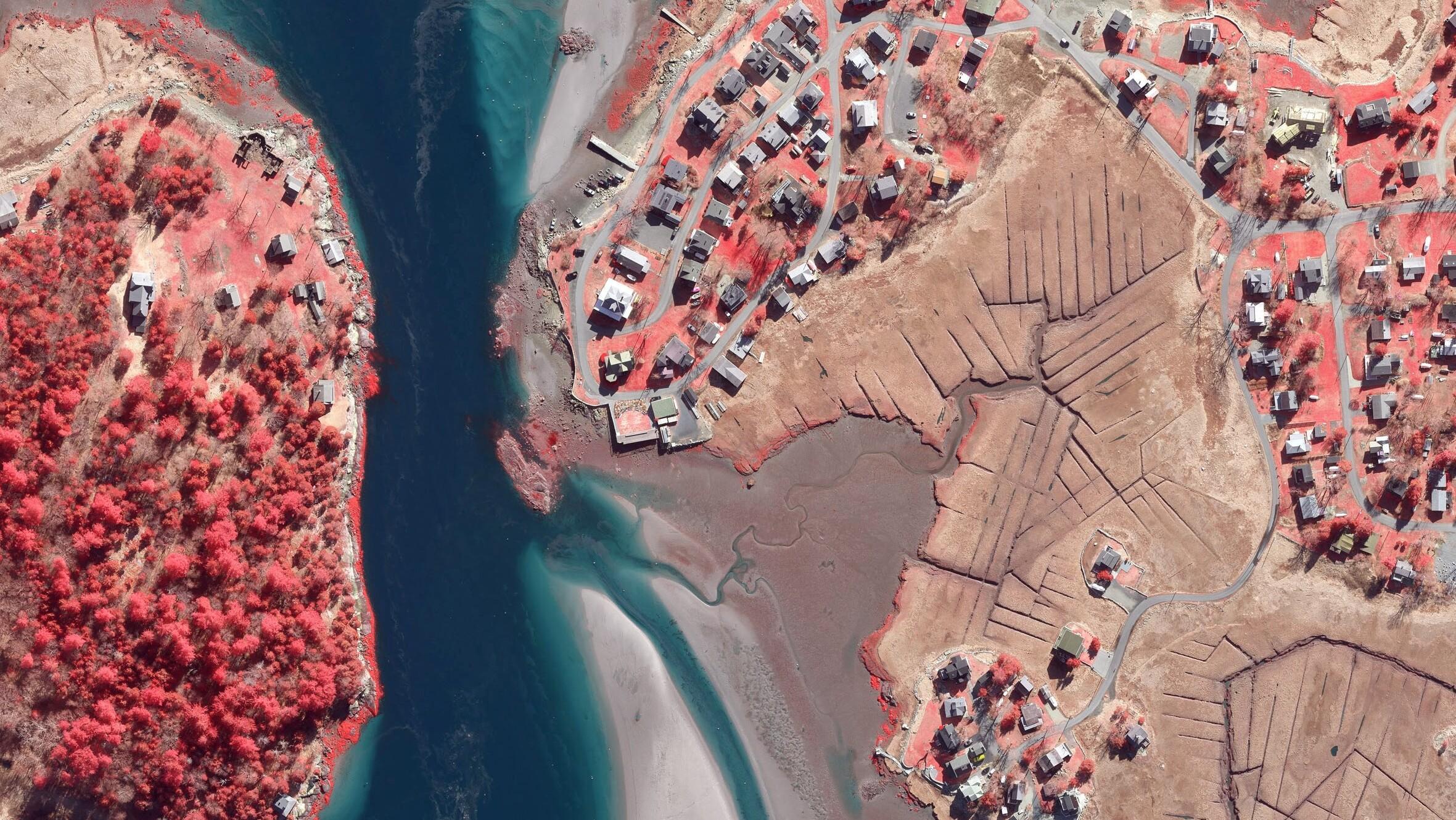
Boston University Uses Bluesky Aerial Photomaps to Research Climate Change
Read More
Aerial Mapping Company Bluesky International Sets Out Plans for 2021 Flying Season
Read More
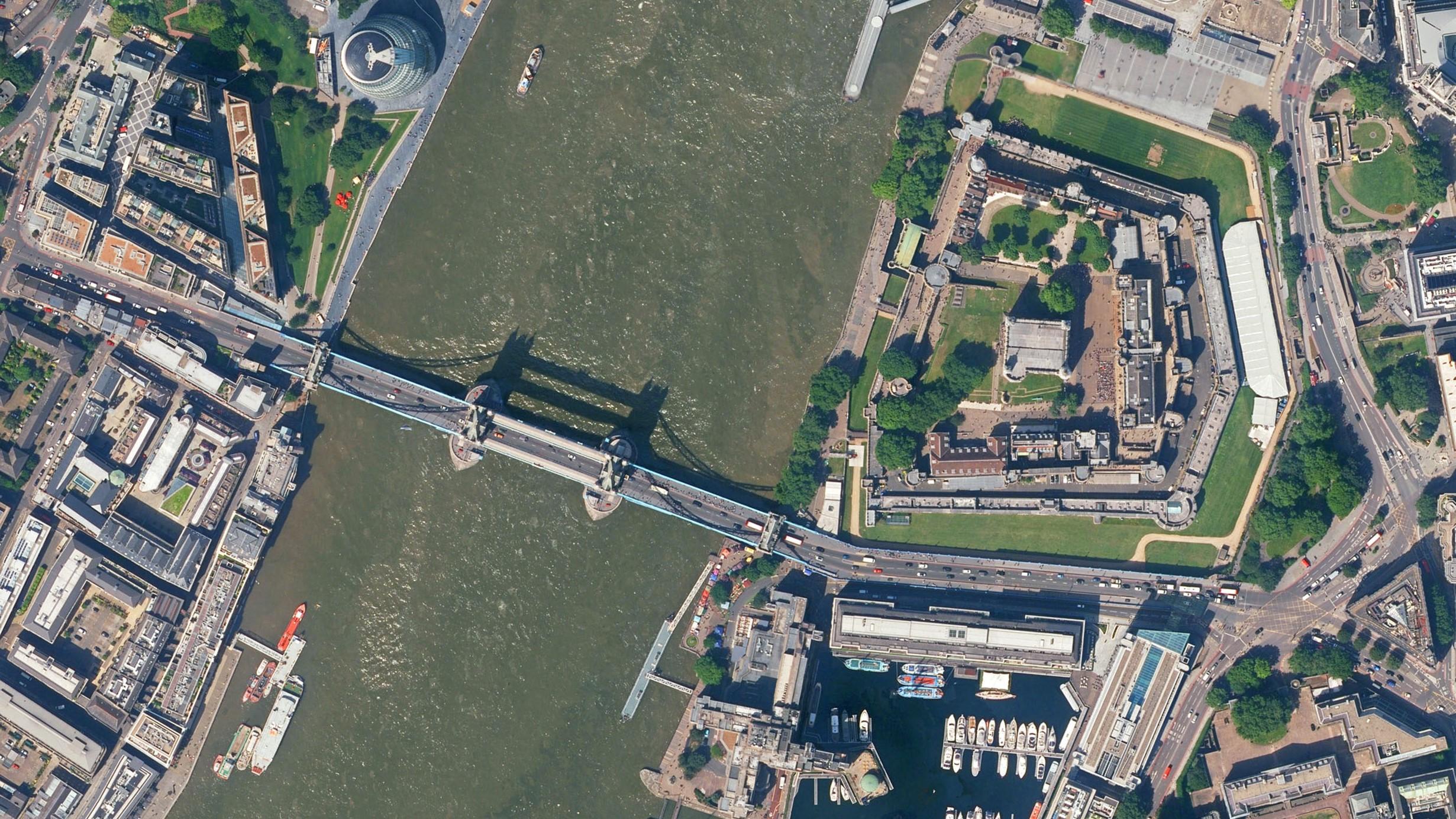
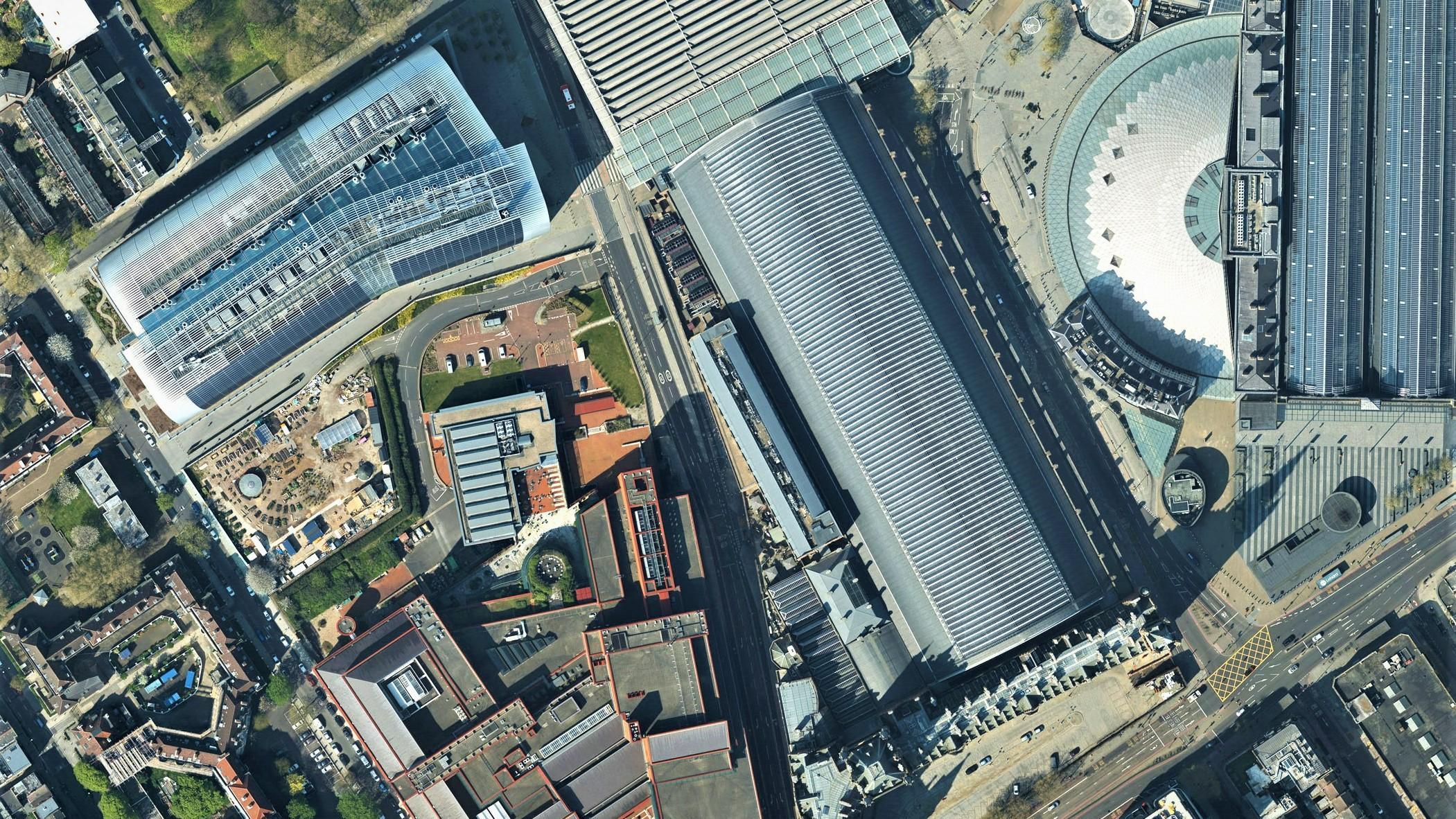
Bluesky 5cm Aerial Photography Reveals Hidden Parts of London
Read More
Bluesky Aerial Maps Light the Way for Contaminated Site Investigation and Clean Up
Read More
Previous
1
2
Page load link
Go to Top