Sample Data
Please click on the images below to download Bluesky sample data. These samples will open in most GIS Mapping applications. Each sample is provided with a projection file (if needed).
Aerial Photography Sample Data
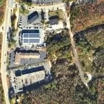
0.25 ft Aerial Photography
Sample of ortho photography at 0.25 ft resolution.
Data is provided as a zip file which contains the image data, an ESRI world file and projection file.
Height Data Samples
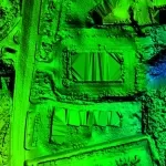
1ft LiDAR DTM (Digital Terrain Model)
This LiDAR DTM data has had all surface features removed, such as vegetation and buildings, to leave a bald earth terrain.
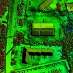
1ft LiDAR DSM (Digital Surface Model)
This LiDAR DSM data includes all of the buildings, trees and other features on the ground.
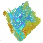
LiDAR Point Cloud 40ppm
Available on request.
3D Building Model Downloads
LOD 1
Level of Detail 1 – Models consist of simple block buildings.
The downloadable file includes .DGN, .DWG, .SKP & .OBJ.
Note: When opening the .OBJ file you will be prompted to select the .MTL file, this is also included in the download.
LOD 2
Level of Detail 2 – Models contain fully modelled pitched or flat roof shapes.
The downloadable file includes .DGN, .DWG, .SKP & .OBJ.
Note: When opening the .OBJ file you will be prompted to select the .MTL file, this is also included in the download.
LOD 3
Level of Detail 3 – Models contain roof shapes and structures, including dormer windows, chimneys and other small details visible within the aerial photography.
The downloadable file includes .DGN, .DWG, .SKP & .OBJ.
Note: When opening the .OBJ file you will be prompted to select the .MTL file, this is also included in the download.


