May 2025
-
Woolpert Acquires Bluesky International, UK’s Largest Commercial Aerial Survey Firm
Woolpert has acquired Bluesky International, the largest aerial survey firm in the United Kingdom and the U.K. government’s supplier of choice for aerial photography and height data. The private, multidisciplinary…
Read More
November 2023
-
Bluesky Geospatial Launches MetroVista 3D Aerial Mapping Program in US
Bluesky Geospatial Ltd. has announced the launch of its MetroVista 3D aerial mapping program in the United States. The service employs a hybrid imaging-LiDAR airborne sensor to capture highly detailed…
Read More
June 2021
-
Bluesky MetroVista Models Transform Real Estate Marketing with 3D Visualizations
Photorealistic 3D models from aerial mapping specialist Bluesky are being used to create real-world interactive visualizations to transform how unbuilt commercial and residential property is presented for sale. Created by…
Read More -
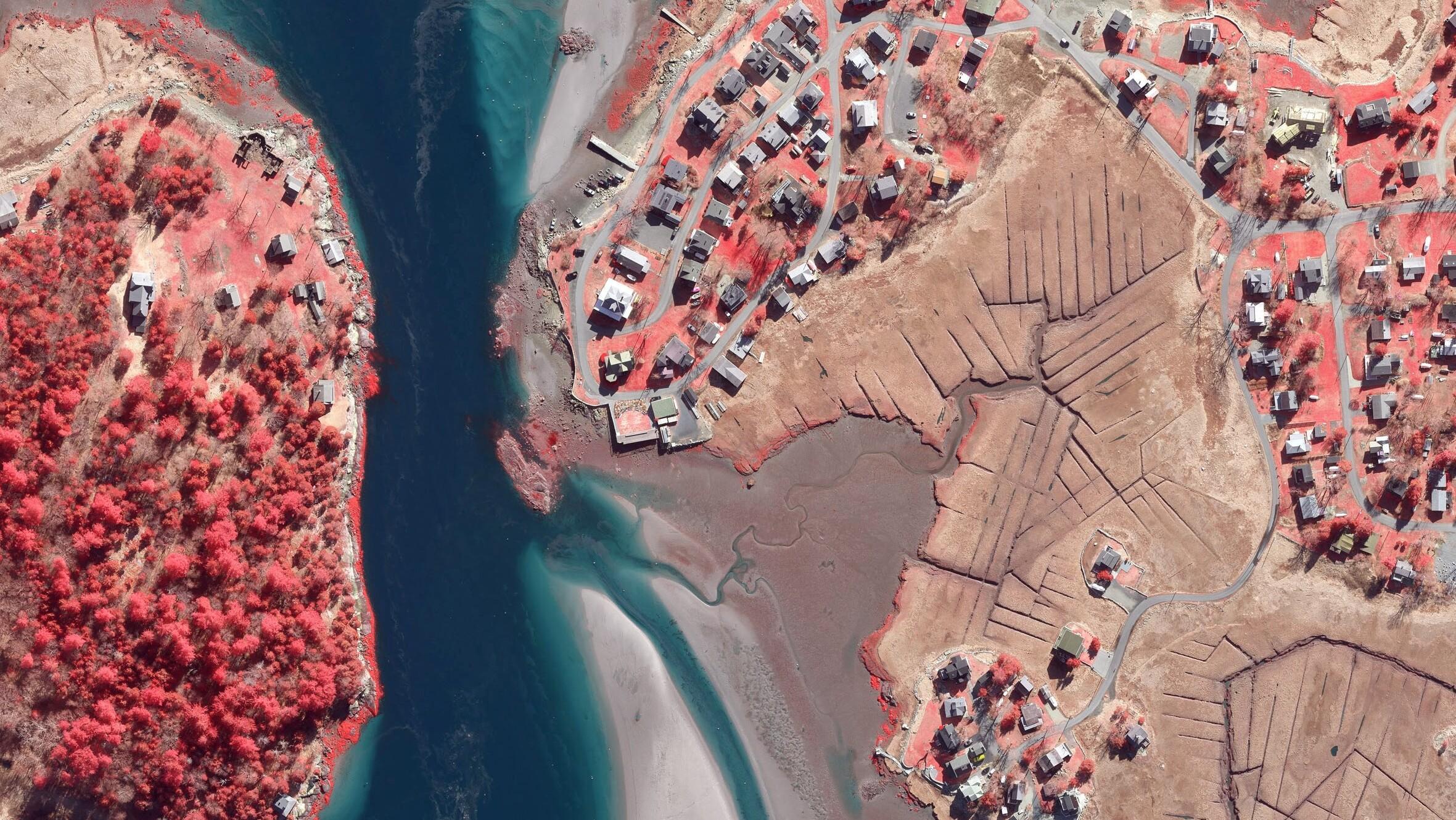
Boston University Uses Bluesky Aerial Photomaps to Research Climate Change
Researchers at Boston University are using high resolution aerial photography to investigate how important coastal ecosystems are responding to climate change. The study focused on an area of salt marsh…
Read More
May 2021
-
Bluesky Aerial Maps Light the Way for Contaminated Site Investigation and Clean Up
Aerial mapping company Bluesky has completed a topographic survey of the old Anchor Color and Gum Works site in Dighton, Massachusetts. Working with Lighthouse Land Surveying, LLC and under strict…
Read More
March 2021
-
Bluesky Addresses Urgent Need for 3D Mapping Data with Sensor Investment
Aerial mapping company Bluesky International has secured its position as the leading UK provider of 3D mapping data following the purchase of the very latest high performance aerial mapping sensor…
Read More


