May 2025
-
Woolpert Acquires Bluesky International, UK’s Largest Commercial Aerial Survey Firm
Woolpert has acquired Bluesky International, the largest aerial survey firm in the United Kingdom and the U.K. government’s supplier of choice for aerial photography and height data. The private, multidisciplinary…
Read More
November 2023
-
Bluesky Geospatial Launches MetroVista 3D Aerial Mapping Program in US
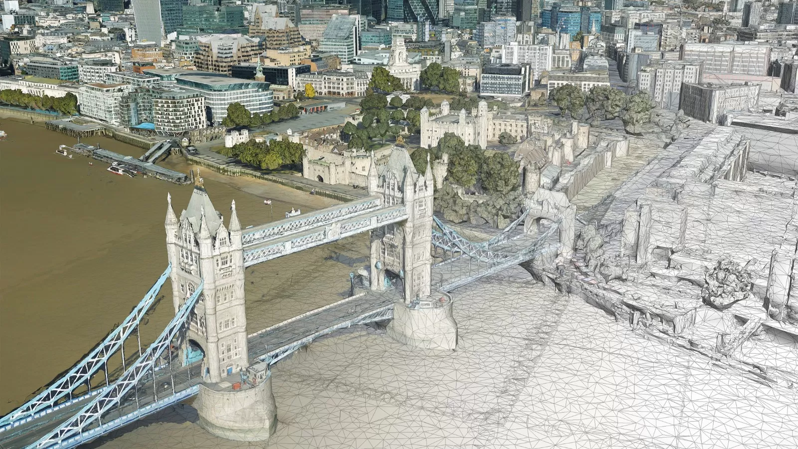
Bluesky Geospatial Ltd. has announced the launch of its MetroVista 3D aerial mapping program in the United States. The service employs a hybrid imaging-LiDAR airborne sensor to capture highly detailed…
Read More
April 2023
-
Bluesky International Partners With UP42 To Supply Aerial Imagery And Geospatial Data
Bluesky International announces a new partnership with Berlin-based UP42, a leading geospatial developer platform and marketplace. The recently signed agreement will see Bluesky supply its accurate, high resolution aerial imagery…
Read More
March 2023
-
Bluesky International Partners With SkyFi To Widen Access To Aerial Imagery
Bluesky International announces a new partnership with SkyFi, an American company, based in Texas, that aims to democratise access to earth observation assets by providing access of multi-perspective imagery to…
Read More
November 2022
-
Night Surveys Show Heat-Loss from Homes to Help UK Councils Allocate Energy-Saving Funds
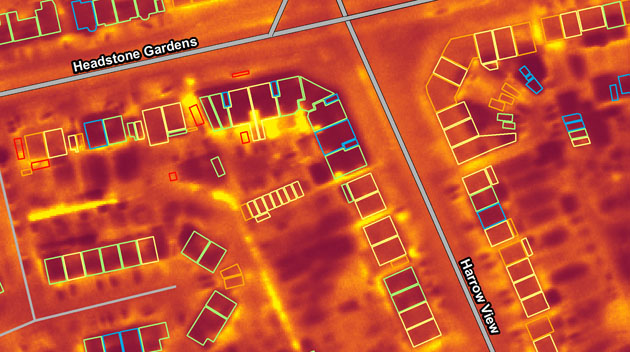
Aerial surveying company Bluesky is planning night-time flights over UK cities this winter with the latest high-tech thermal imaging camera to measure heat loss from roofs. UK local authorities are…
Read More
October 2022
-
Bluesky International announced as supplier for new Ordnance Survey framework
Bluesky International, a leading UK aerial survey and mapping company, has fought off stiff competition to be named as one the selected organisations to sit on a new framework created…
Read More
September 2022
-
Bluesky Takes to the Skies to Capture More Oblique Views of UK Cities
Aerial mapping company Bluesky International, is using one of the world’s most advanced hybrid sensors to expand its library of high-definition oblique photographs of UK cities to reveal more detail…
Read More
August 2022
-
Bluesky International Celebrates Extension to Multi Million Pound Government Mapping Contracts
Aerial mapping company and consortium lead Bluesky International, in partnership with Getmapping plc, has been granted a contract extension from the Geospatial Commission to continue to supply aerial photography, 3D…
Read More -
Bluesky International Reveals Growing Appetite for Same Day Delivery Geospatial Data
Aerial mapping company Bluesky International, has revealed a huge upsurge in the demand for same day delivery geospatial data. Since launching its online Mapshop, companies from industries such as architecture,…
Read More
June 2022
-
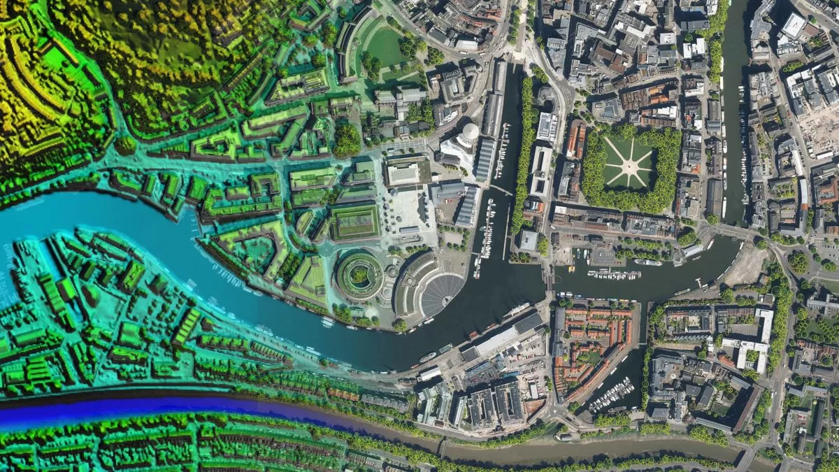
Bluesky Aerial LiDAR Survey Data Helps UK Farmers Apply for Carbon Credits
A new government funded project is using LiDAR data captured by aerial survey and mapping company, Bluesky International to identify areas of hedgerow and subsequently the amount of carbon captured…
Read More -
Bluesky LiDAR and Aerial Photography Bring Builds to Life for Dublin Design Studio
A Dublin based architectural consultancy is using data from aerial survey and mapping company Bluesky International to ensure the planning process is conducted as efficiently and smoothly as possible for…
Read More
February 2022
-
Bluesky Aerial Photography Helps UK Homes Boost Solar Energy Output and Reduce Carbon Emissions
Aerial mapping company Bluesky is helping Derby Homes roll out integrated solar photovoltaic (PV) systems across its housing stock. A project to identify suitable roof coverings assessed more than 8,000…
Read More
July 2021
-
Bluesky and BlackSky Join Forces to Bring Satellite Imagery to the UK
Bluesky International (Bluesky), the leading aerial survey company in the U.K. and Republic of Ireland, announced it has joined BlackSky’s Global Reseller Program. BlackSky is a leading technology platform providing…
Read More
April 2021
-
Architect Brings Design to Life with Virtual Reality Using 3D Building Models
Architects Kirkland Fraser Moor (KFM) are pioneering the use of Virtual Reality (VR) to bring to life design processes and stakeholder consultations. Using VR based on a 3D building model…
Read More


