Skip to content
Search for:
Toggle Navigation
Home
About Us
Our Services
Aerial Photography
MetroVista
LiDAR Height Data
Airport Mapping
Topographic Mapping
3D Building Models
Our Work
News and Events
Work with Us
Contact Us
Search for:
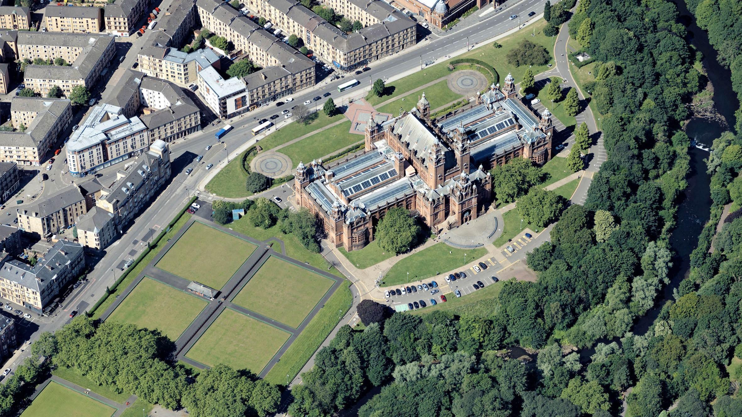
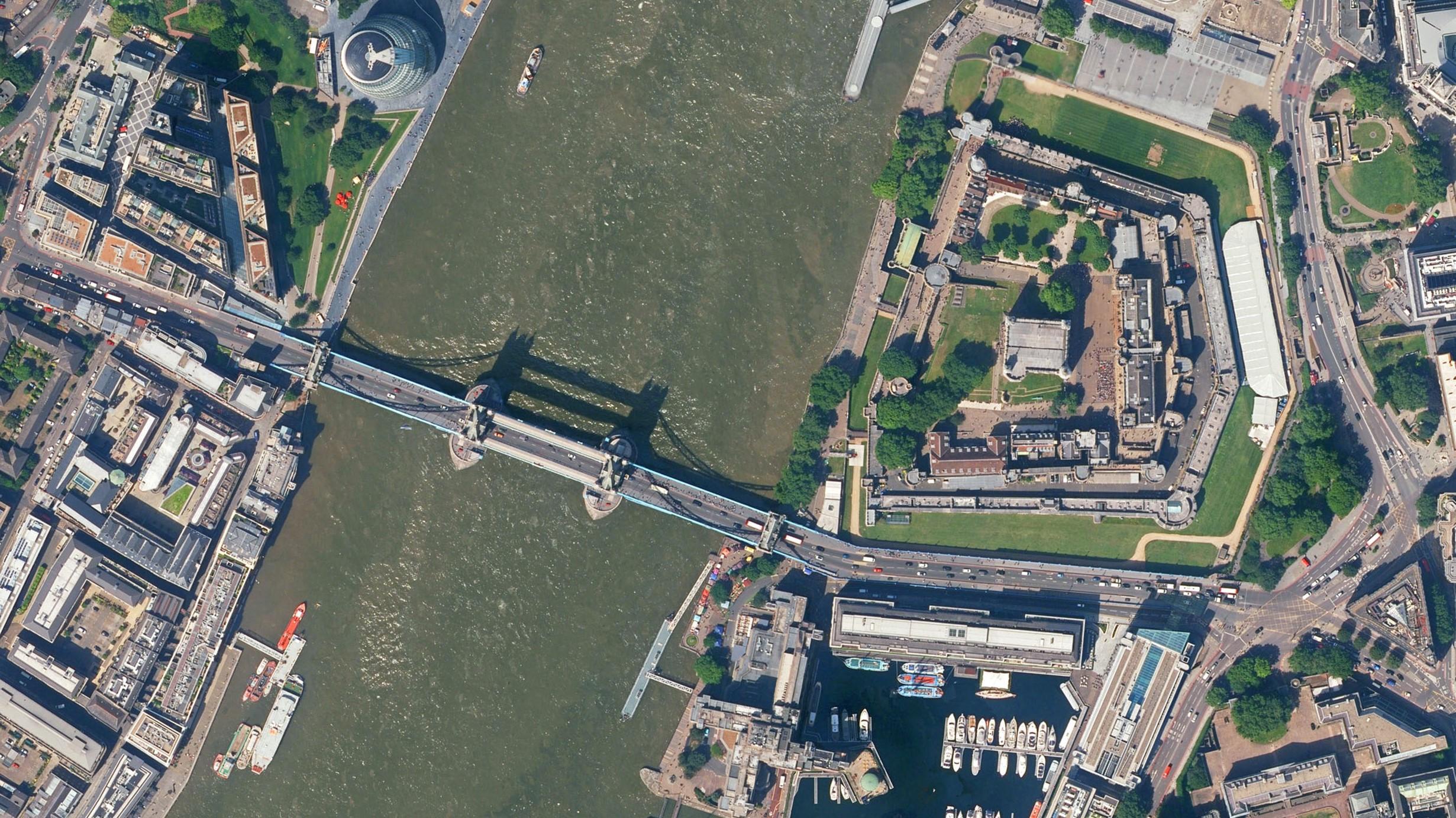
Bluesky Adds Scottish Cities to MetroVista 3D City Line-up
Read More
An Insight into the Life of a Sales Executive
Read More
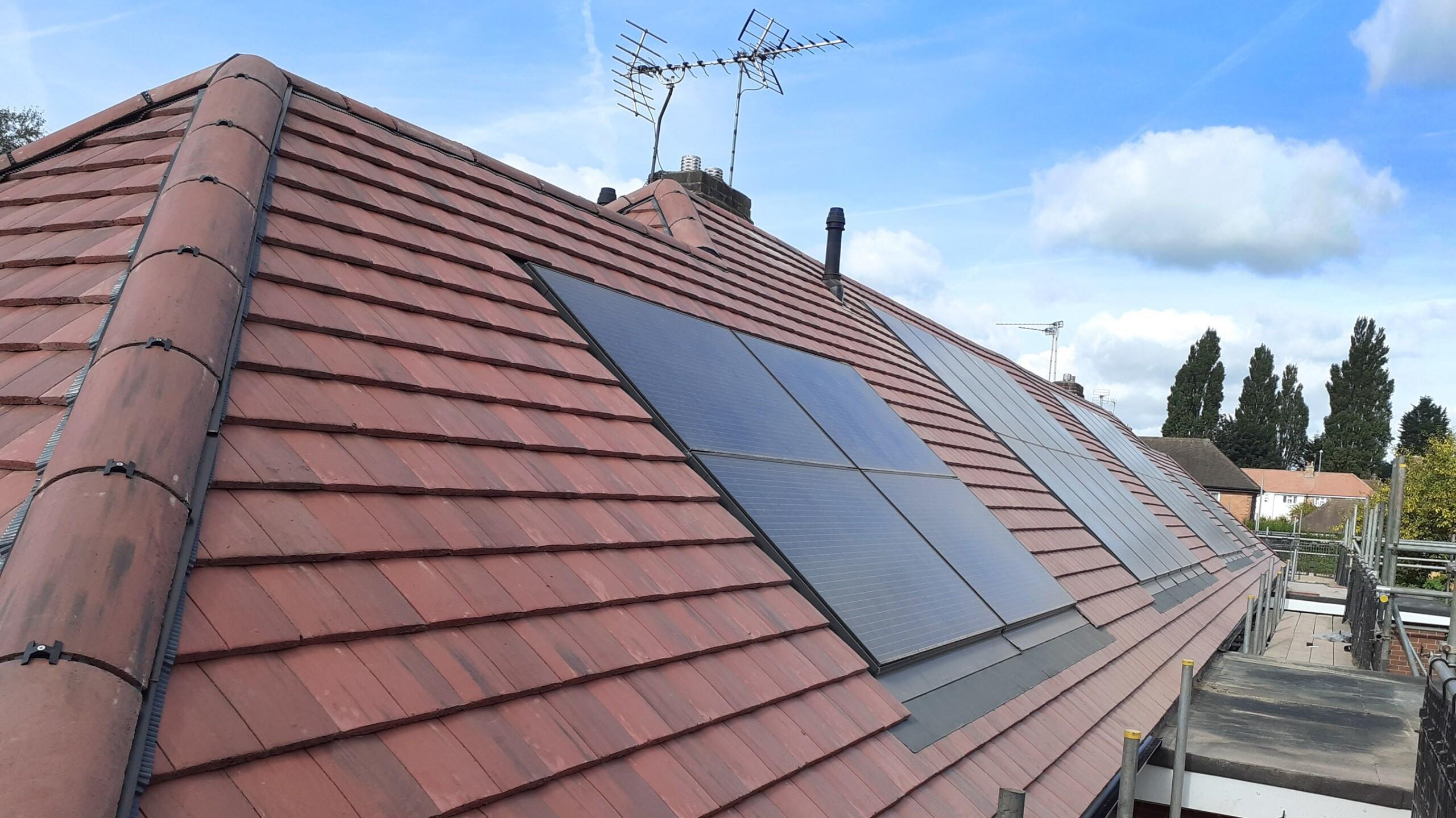
Bluesky Aerial Photography Helps UK Homes Boost Solar Energy Output and Reduce Carbon Emissions
Read More
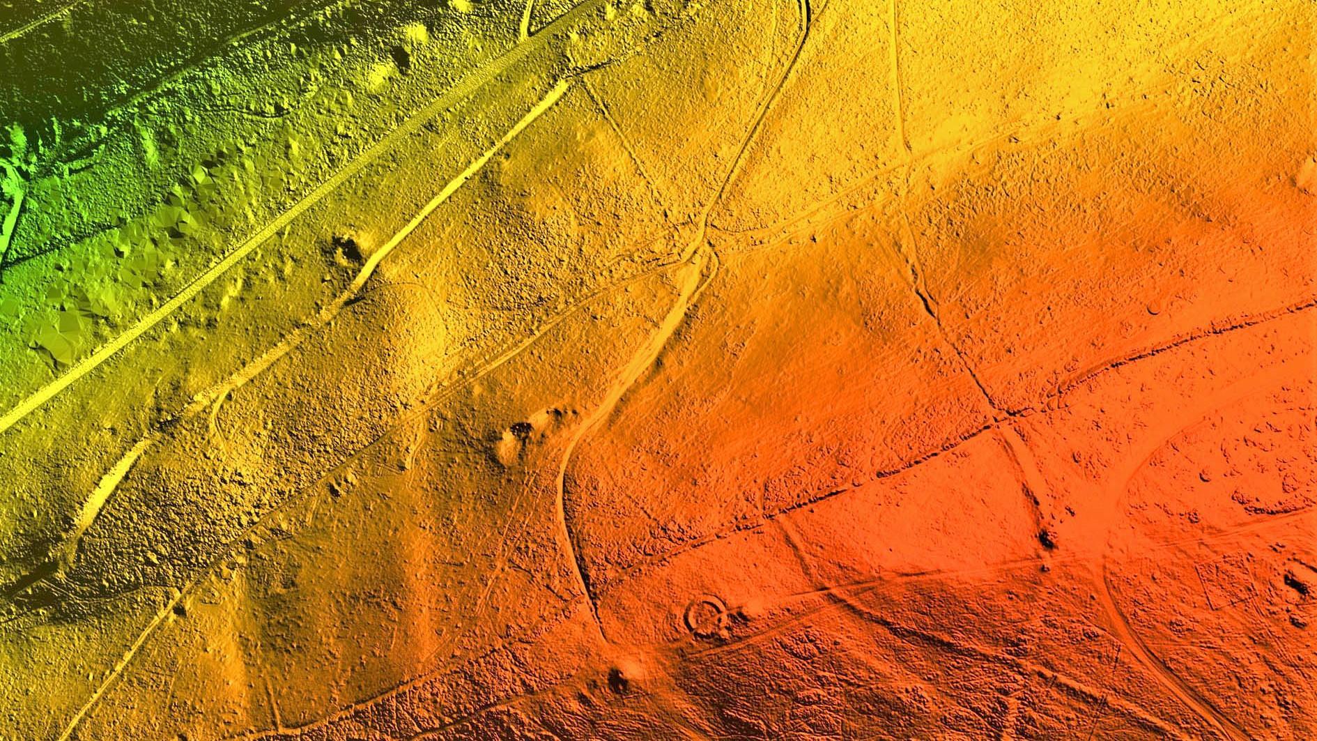
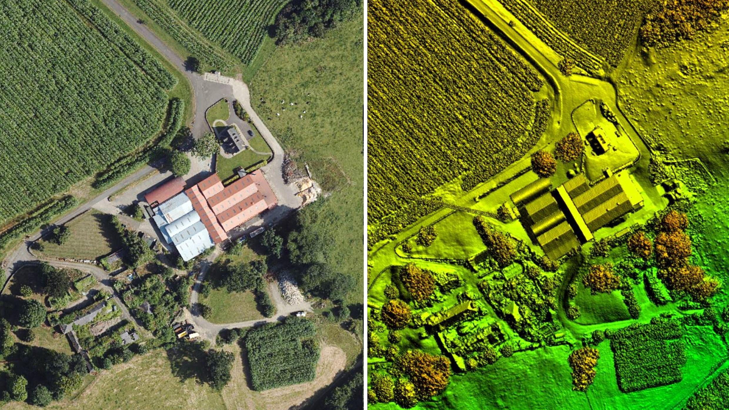
Bluesky International LiDAR Survey Reveals More than 400 ‘New’ Archaeological Sites in AONB
Read More
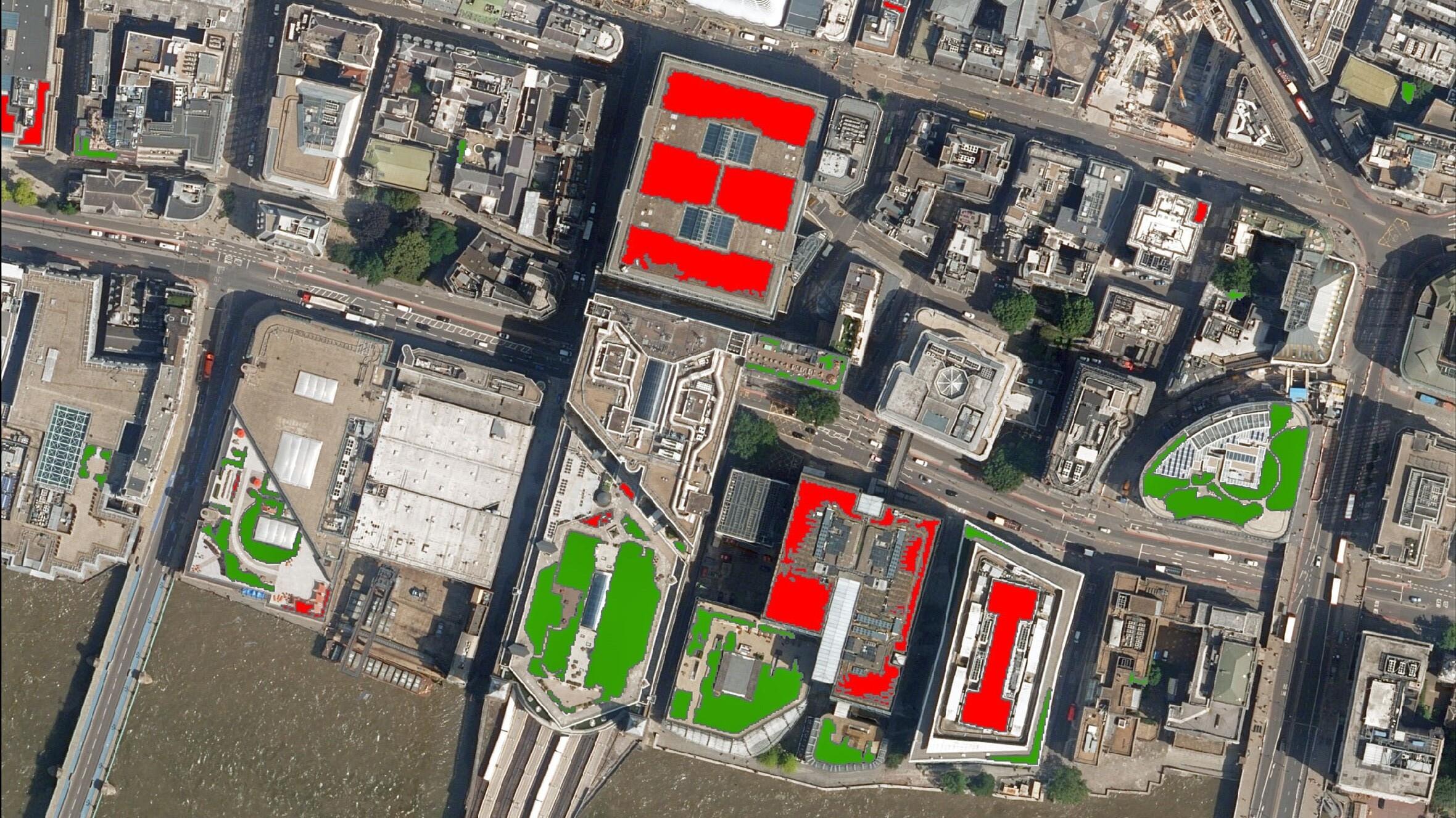
Bluesky Aerial Photography used to Map Green Roofs in UK
Read More
Hexagon Streams Bluesky GB Aerial Photography via HxGN Content Program
Read More
Bluesky LiDAR Benchmarks Carbon Neutral Farming in Northern Ireland
Read More
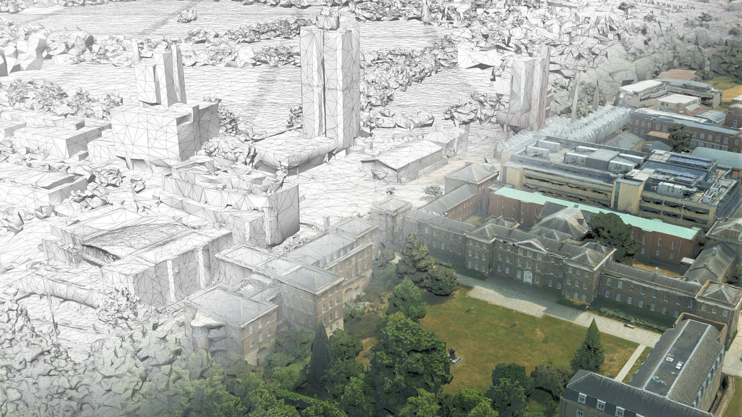
Bluesky and University of Leicester Use AI to Reduce Data Intensity for Smart City Applications
Read More
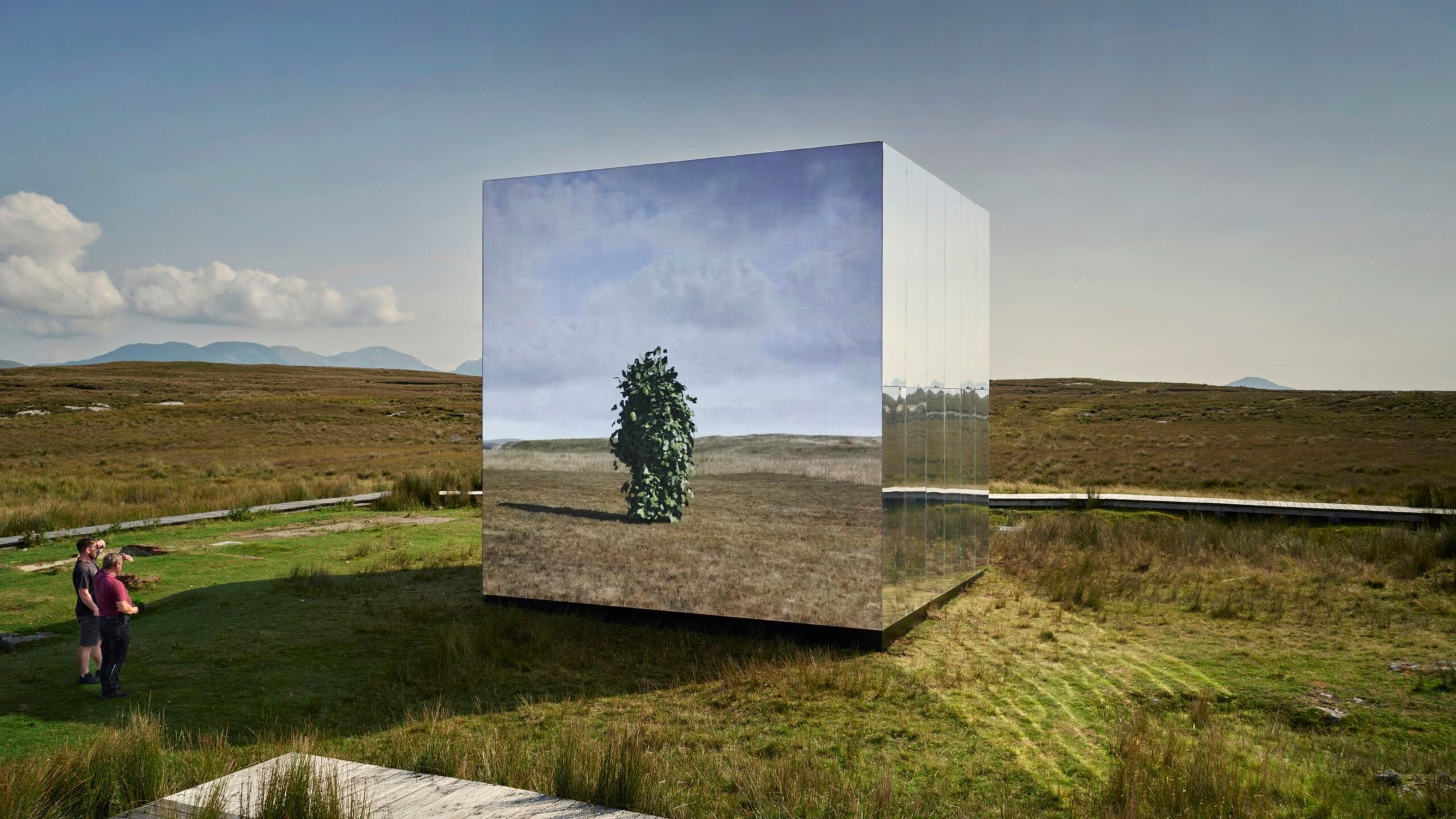
Bluesky Aerial Photomaps Feature in International Arts Festival
Read More
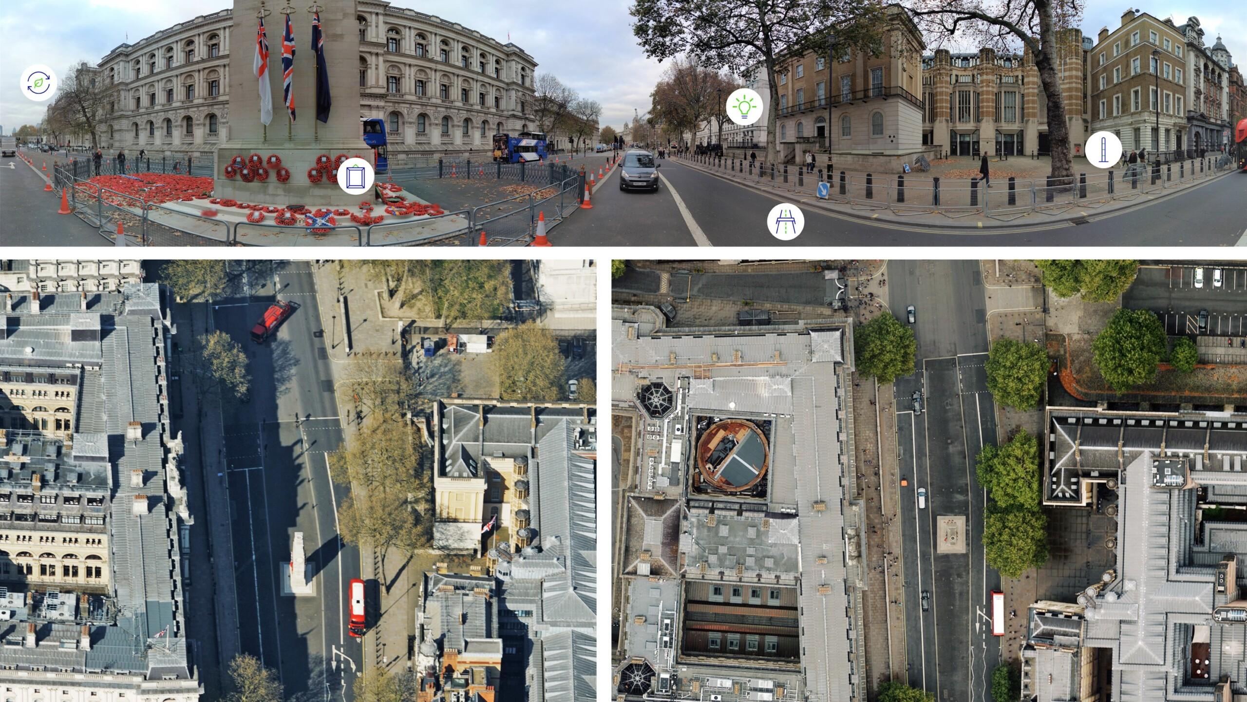
Bluesky Cyclomedia Partnership Combines Aerial and Mobile Mapped Data for Virtual City Models in UK
Read More
Previous
1
2
3
Next
Page load link
Go to Top