Skip to content
Search for:
Toggle Navigation
Home
About Us
Our Services
Aerial Photography
MetroVista
LiDAR Height Data
Airport Mapping
Topographic Mapping
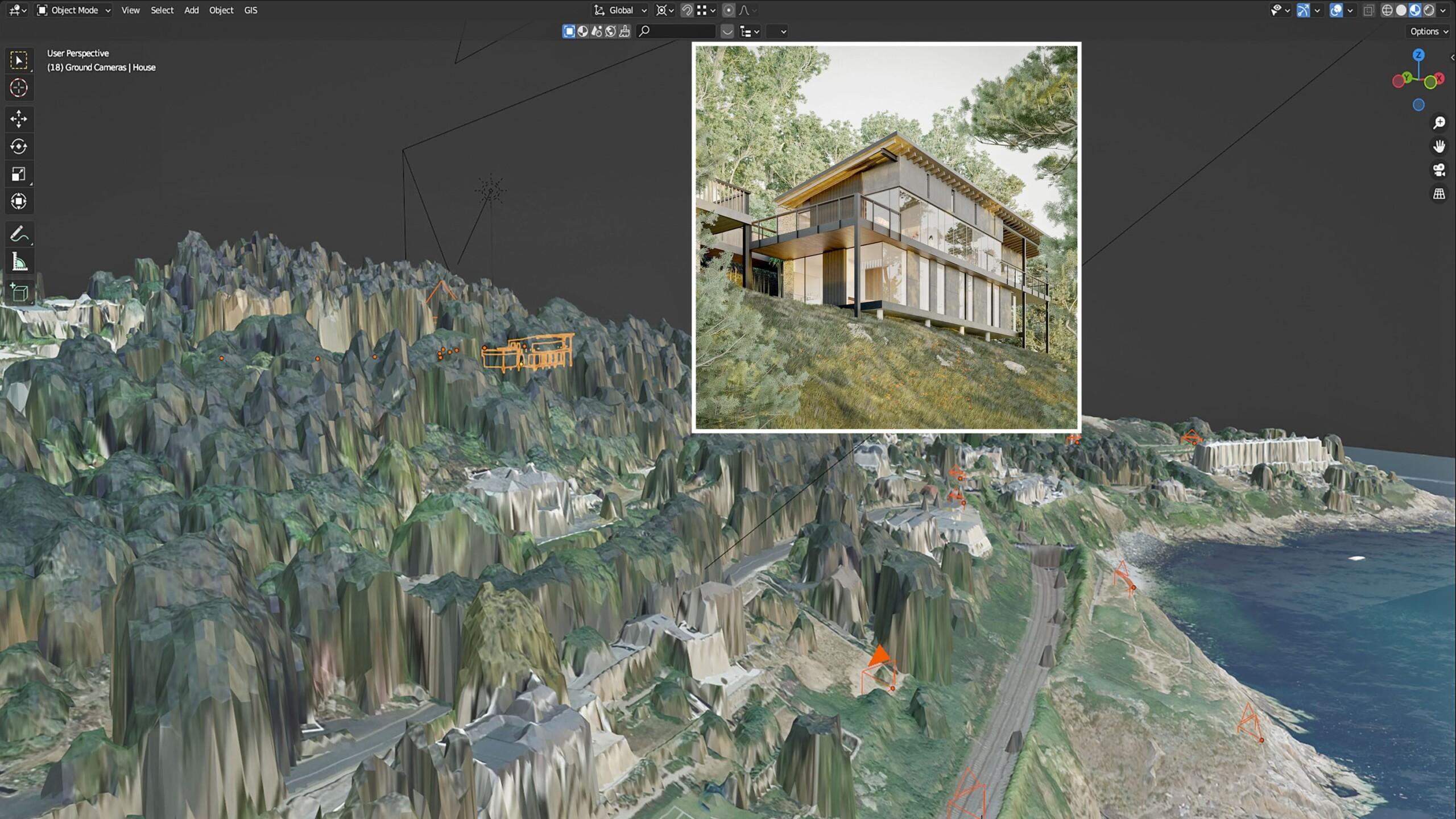
3D Building Models
Our Work
News and Events
Work with Us
Contact Us
Search for:
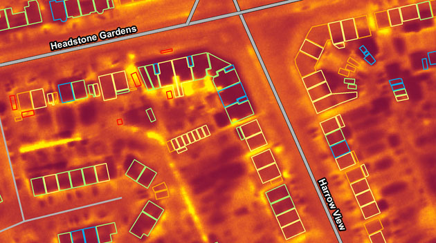
Night Surveys Show Heat-Loss from Homes to Help UK Councils Allocate Energy-Saving Funds
Read More
Bluesky International announced as supplier for new Ordnance Survey framework
Read More
Bluesky Takes to the Skies to Capture More Oblique Views of UK Cities
Read More
Bluesky International Celebrates Extension to Multi Million Pound Government Mapping Contracts
Read More
Bluesky International Reveals Growing Appetite for Same Day Delivery Geospatial Data
Read More
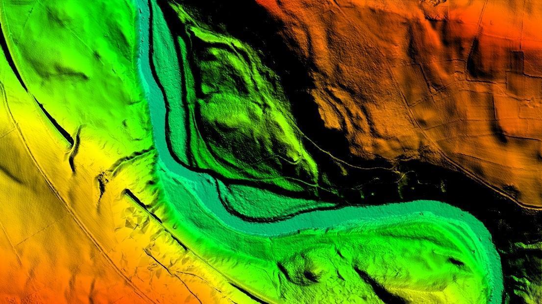
Bluesky Aerial LiDAR Survey Data Helps UK Farmers Apply for Carbon Credits
Read More
Bluesky LiDAR and Aerial Photography Bring Builds to Life for Dublin Design Studio
Read More
Bluesky International get excited for the new 2022 Flying Season across the UK
Read More
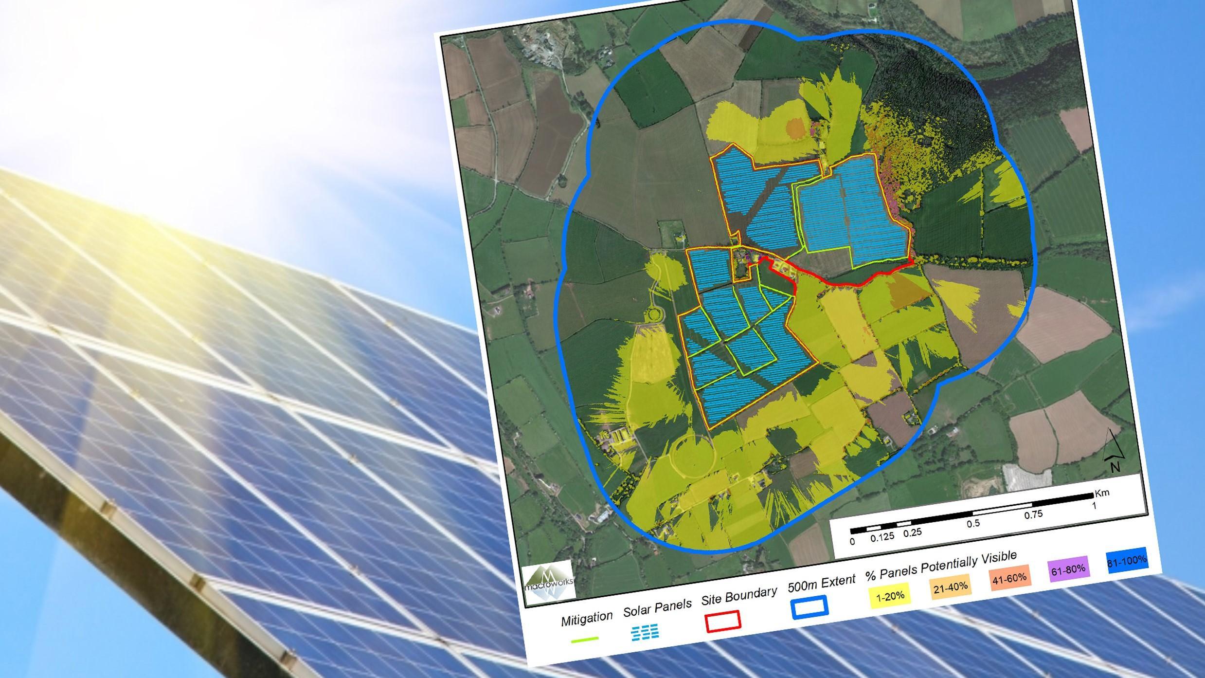
Bluesky 3D Models Help Macro Works Plan Milestone Solar Farm in Ireland
Read More
An Insight into the Life of an Airborne Operator
Read More
1
2
Next
Page load link
Go to Top