By Shaun Vincent, Sales and Mapping Specialist
Managing a modern university campus is a complex, high-stakes operation. From maintaining aging buildings and coordinating capital projects to ensuring safety and sustainability, university leaders face growing pressure to do more with less.
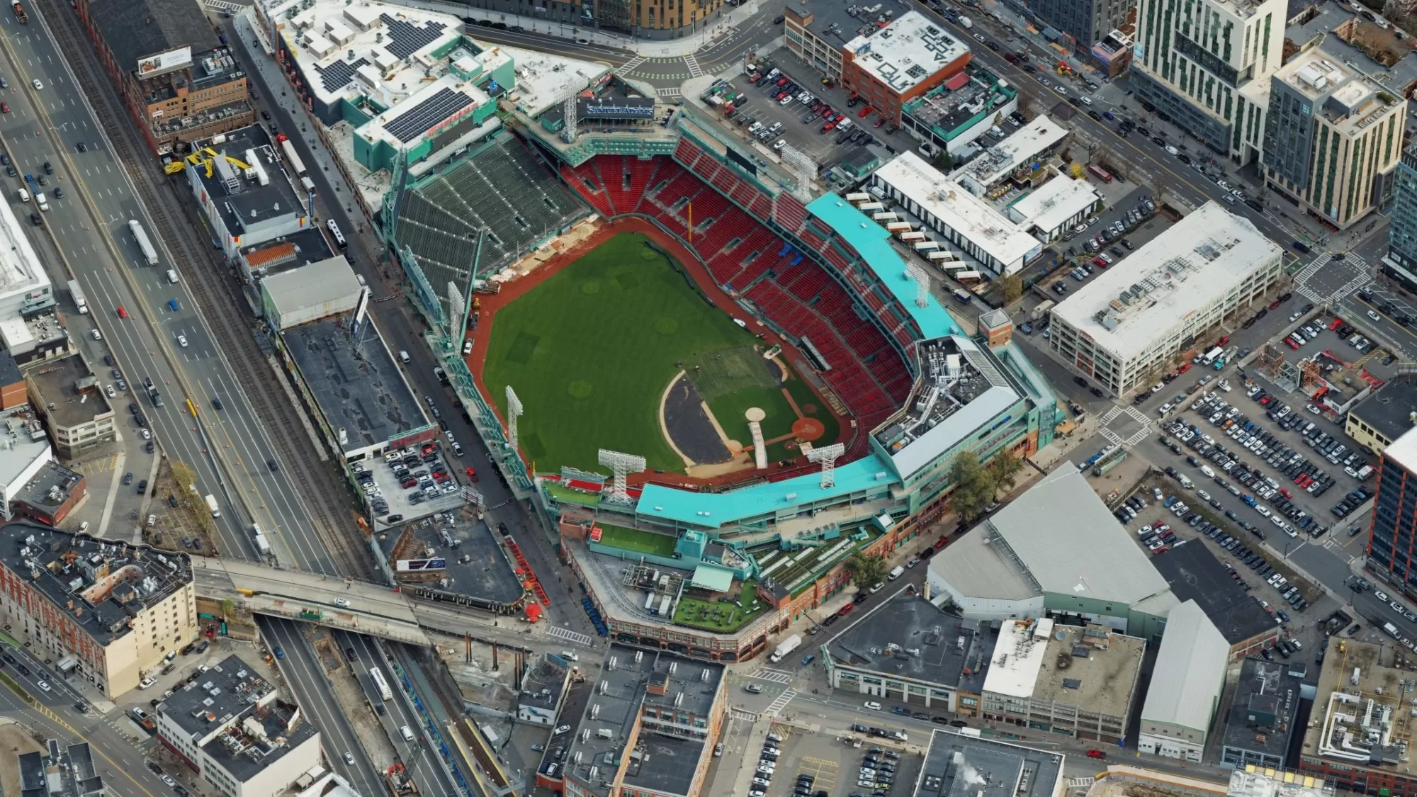
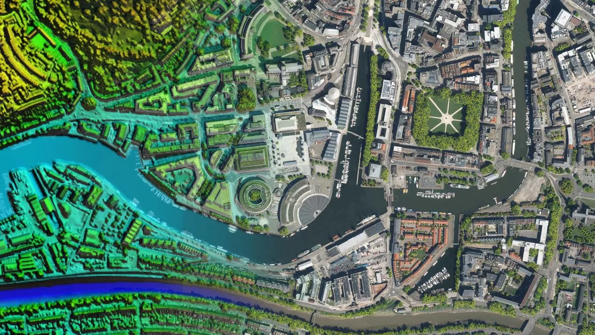
To meet these challenges, forward-thinking institutions across the U.S. are embracing geospatial datasets, including realistic 3D mesh models, LiDAR scanning, and high-resolution aerial photography, to transform the way they plan, manage, and invest in their facilities.
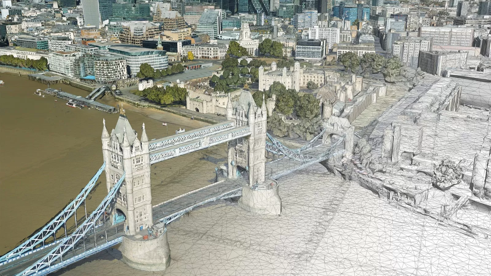
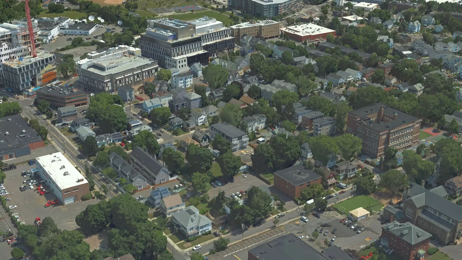
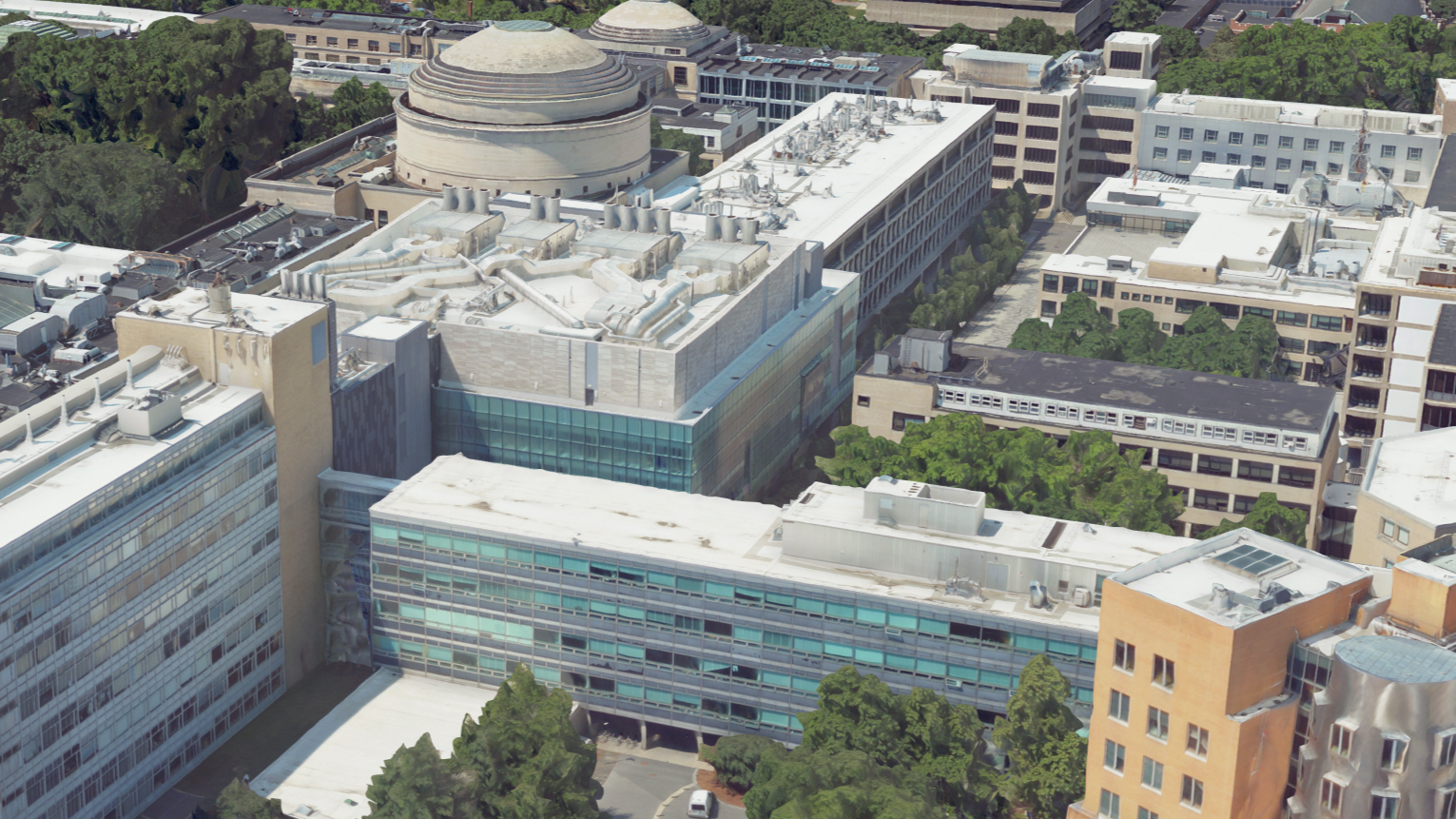
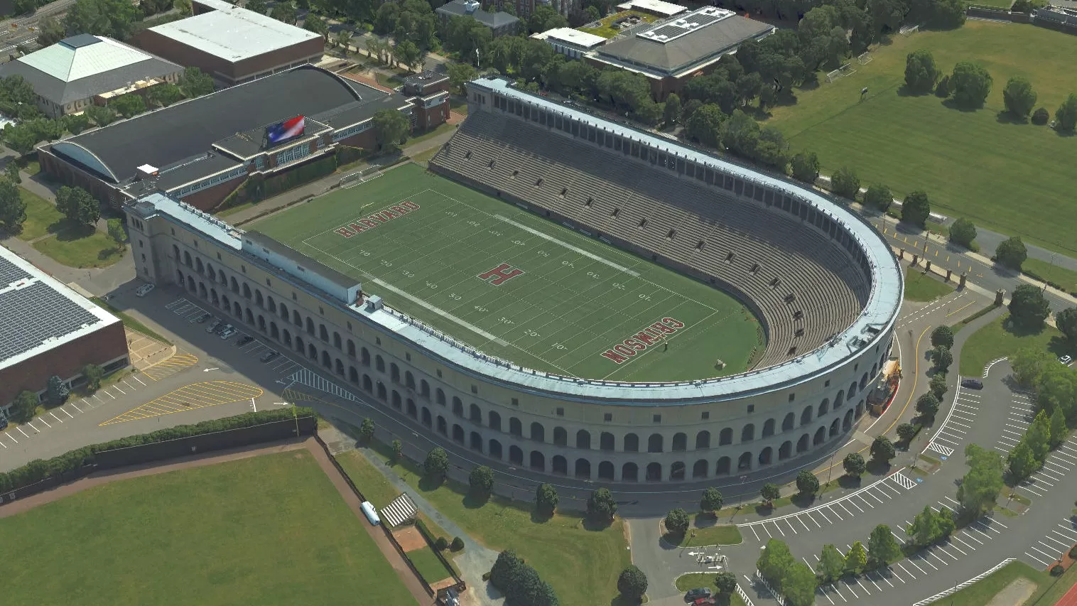
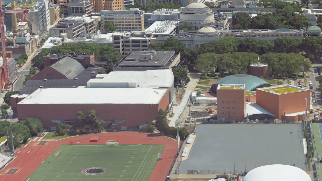
Seeing the Entire Campus at Once: The Power of a Digital Twin
Imagine having a fully accurate, interactive 3D model of your entire campus – every building, road, tree, and pathway – available at your fingertips. That's what modern geospatial data makes possible.
Using LiDAR and our 3D realistic mesh modeling product MetroVista, universities can create a "digital twin" of their physical campus. This virtual replica enables managers to:
- Visualize assets in real time, reducing the need for on-site inspections.
- Assess potential projects virtually, such as new construction, building expansions, or utility upgrades.
- Coordinate across departments, ensuring facilities, planning, and safety teams work from a single source of truth.
For university leaders, this means faster decisions, better communication, and fewer costly surprises during capital projects. Harvard and Massachusetts Institute of Technology (MIT) have both benefited from MetroVista.
Smarter Maintenance and Cost Control
Maintenance is one of the largest expenses in any university's operating budget. Geospatial data helps bring those costs down through early detection, preventive maintenance, and better resource allocation.
- LiDAR scans can identify structural shifts, roof wear, and ground settling—long before problems become emergencies.
- Aerial photography provides campus-wide visibility of roofs, roads, and landscaping conditions without deploying staff to inspect each site.
- By integrating these datasets with GIS-based asset management systems, facilities teams can schedule maintenance based on actual need, not guesswork.
For managers, this means fewer emergency repairs, optimized staffing, and clear justification for budget requests based on quantifiable data.
Supporting Sustainability and Long-Term Planning
University leaders are increasingly tasked with achieving sustainability and resilience goals. Geospatial tools make these ambitions achievable and measurable.
- LiDAR-based elevation models help map drainage and runoff to prevent flooding and erosion.
- Aerial imagery supports tracking of green infrastructure, tree cover, and impervious surfaces.
- Solar potential analysis using 3D campus data helps identify ideal locations for renewable energy installations.
These insights empower managers to make data-backed decisions about investments in sustainability, helping institutions meet climate commitments and demonstrate environmental leadership.
Enhancing Campus Safety and Compliance
Safety and accessibility are top priorities for any university. Geospatial data adds a new level of precision to planning and response efforts.
- Emergency teams can use 3D models to plan evacuation routes and simulate scenarios.
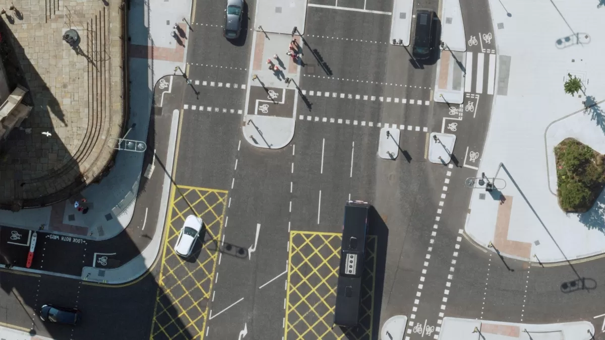
- LiDAR elevation data ensures campus paths, ramps, and entrances meet ADA standards.
- Security planners can model sightlines and coverage for lighting or surveillance systems, improving safety while optimizing costs.
The result: a campus that's not only safer but also more compliant, efficient, and easier to navigate for students and visitors.
Better Data for Strategic Decisions
For university managers, data-driven decision-making is key to long-term success. Geospatial datasets serve as a foundation for evidence-based planning, offering:
- Centralized information for master planning and capital investment.
- The ability to layer financial, energy, and space-use data onto spatial models for deeper insights.
- Tools for scenario planning, allowing leaders to visualize the long-term impact of proposed changes.
This holistic view gives administrators the confidence to make strategic choices that align facilities, finances, and institutional goals.
Conclusion: Geospatial Data as a Strategic Asset
For U.S. universities, geospatial technology is no longer simply a tool for mapmakers, it's a strategic asset for managers who want to run smarter, safer, and more sustainable campuses.
By adopting realistic 3D mesh models like Bluesky's MetroVista, LiDAR, and aerial photography, university leaders gain the visibility and foresight needed to reduce costs, improve safety, and plan confidently for the future.
In a time when budgets are tight and expectations are high, these technologies offer exactly what universities need most: clarity, efficiency, and control.
Universities already benefitting from our custom products include Williams College, Mercy University, SUNY, Harvard, MIT, College of the Holy Cross (Worcester, MA) and Connecticut College.